| Wayfarer to
Labrador Geoff Heath photos - 3 ........ |
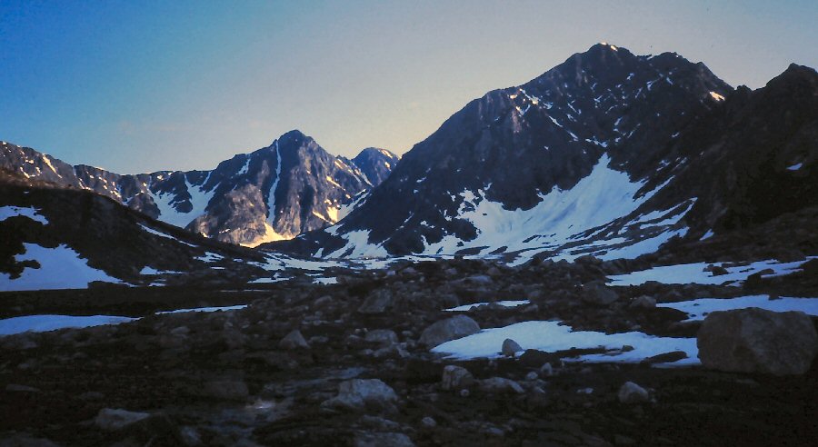 |
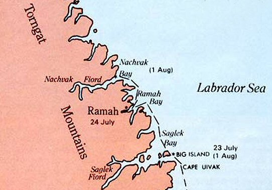
| Southern Torngat
Mountains. East side of Ramah Bay ........ |
 |
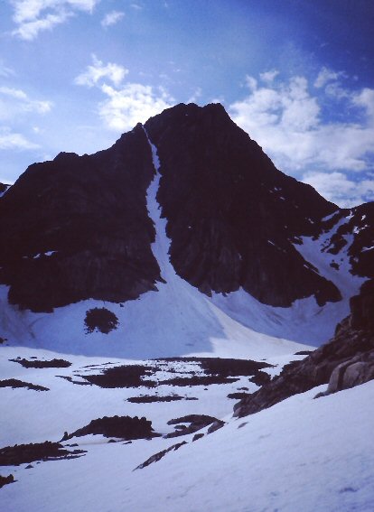 |
| An interesting
opportunity ........ |
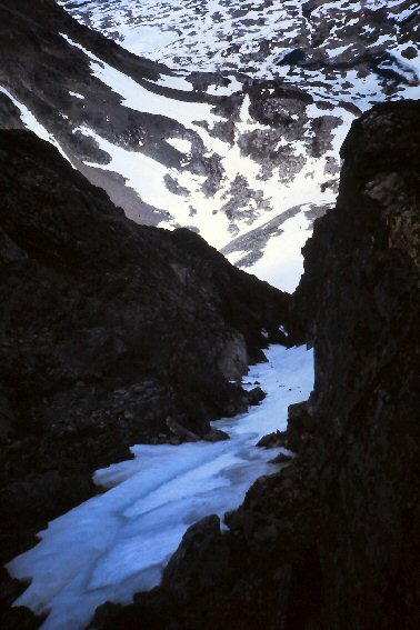 |
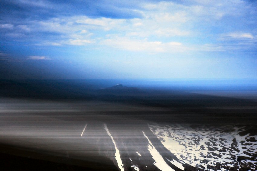
| Looking down the
2000-foot ice couloir ........ |
 |
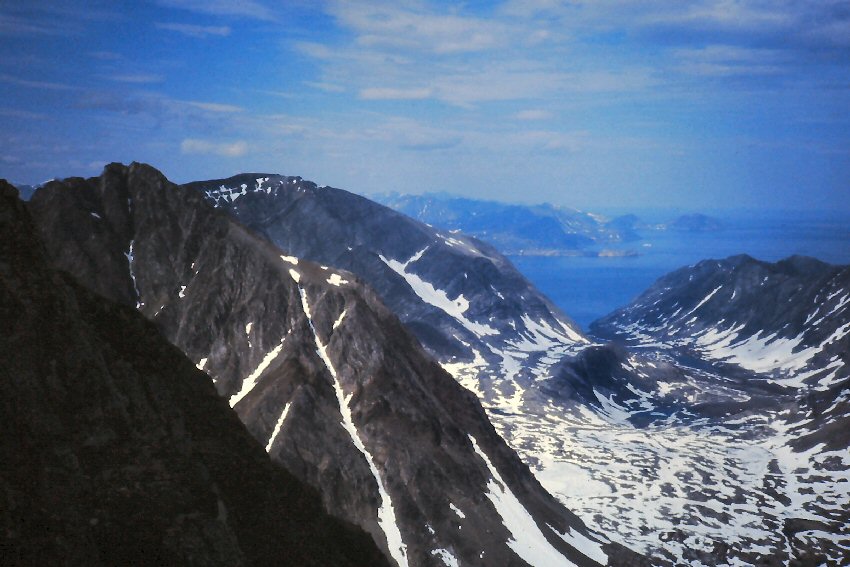
| View north from the
summit ........ |
 |
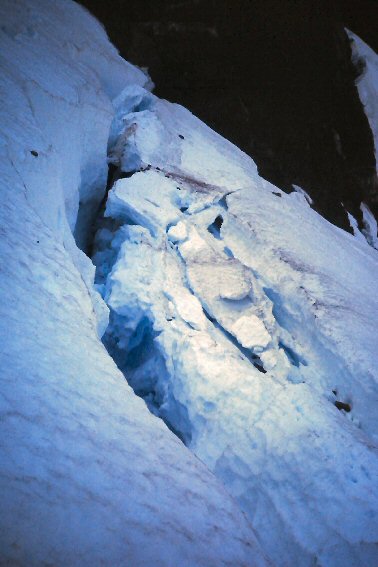
| View north from the
summit ........ |
 |
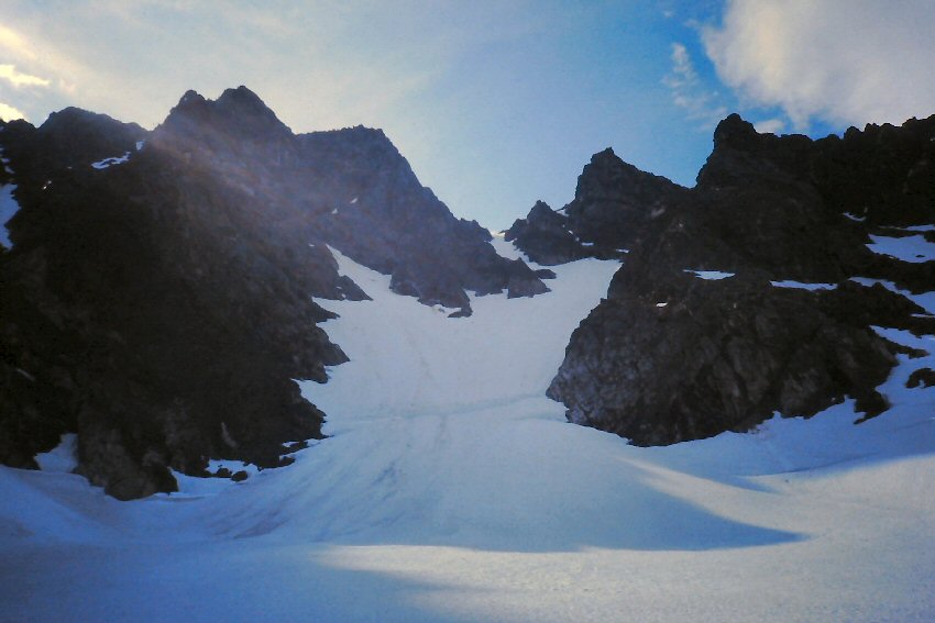
| Large bergschrund
separating glacier from mountain ........ |
 |
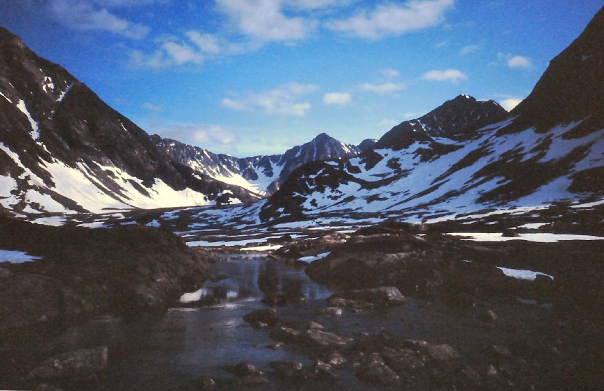 |
| I learned two years
later that the peak has a name, Sagoset. A
failed attempt on the couloir had occurred before my ascent - click here for larger image ........ |
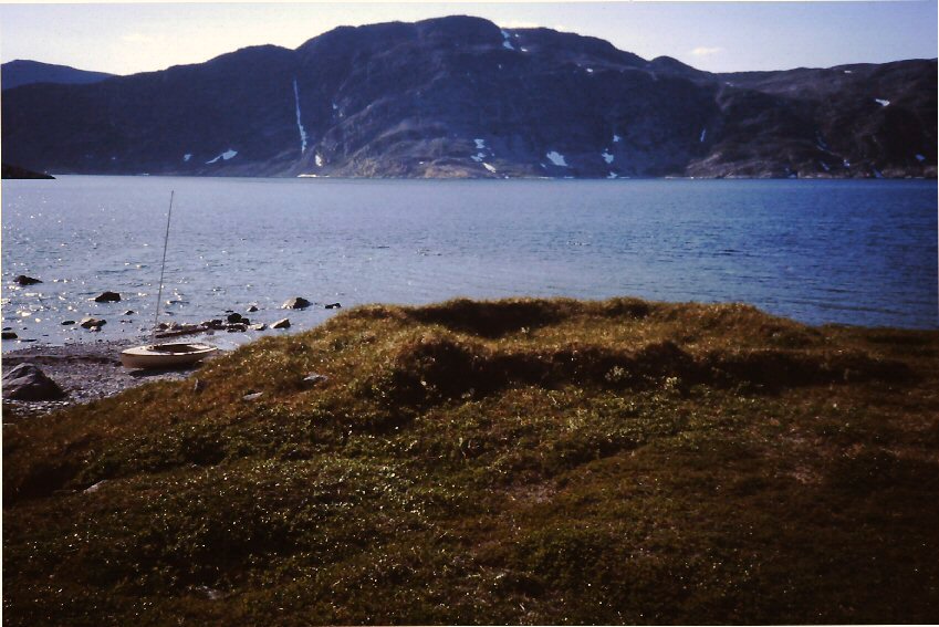 |
| Long forgotten
pre-historic foundation
- click here for
larger image ........ |
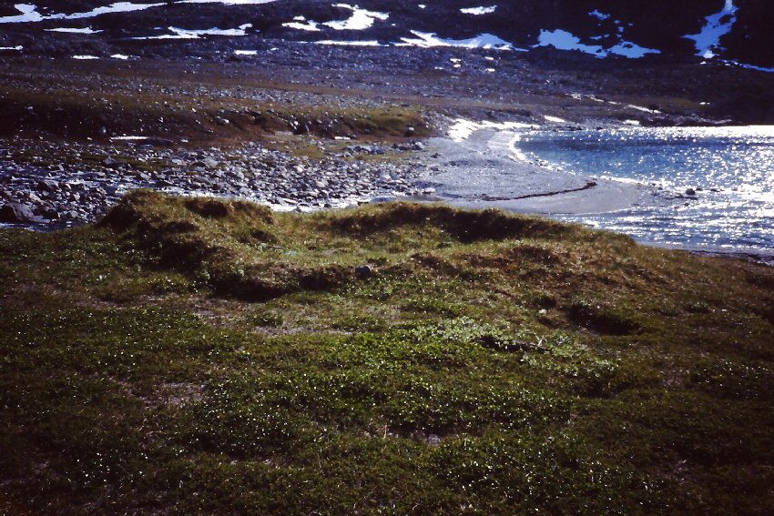 |
| This likely pre-dates
the Inuit culture. ........ |
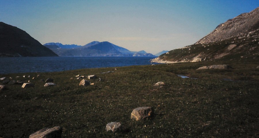 |
| Rock rings, typical of
Inuit -
click here for larger image ........ |
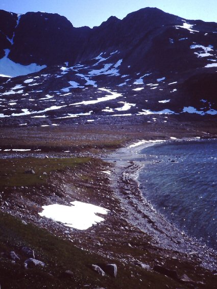 |
| View south from above
camp ........ |
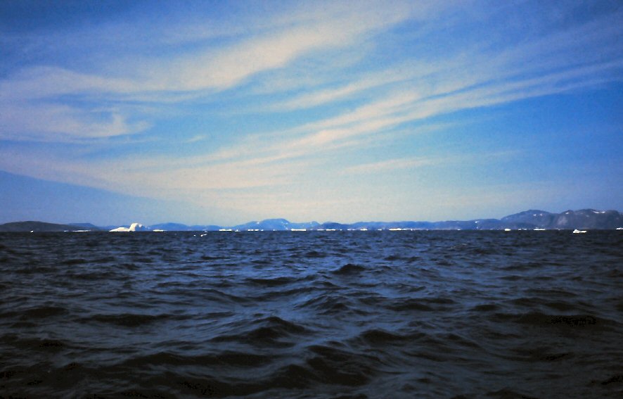 |
| Sailing south ........ |
 |
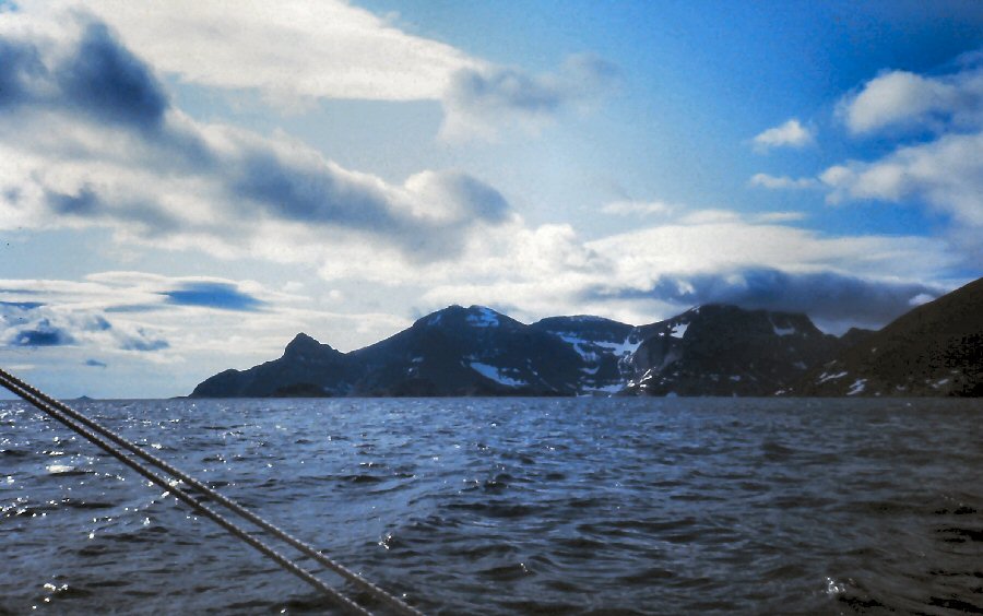 |
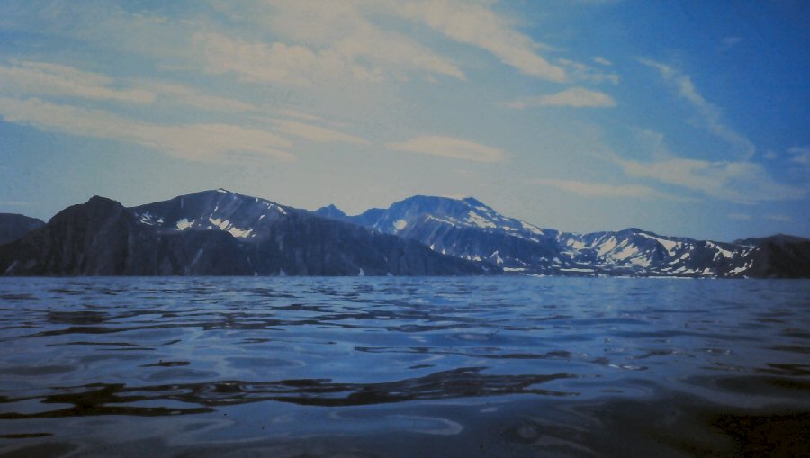
| Sailing south ........ |
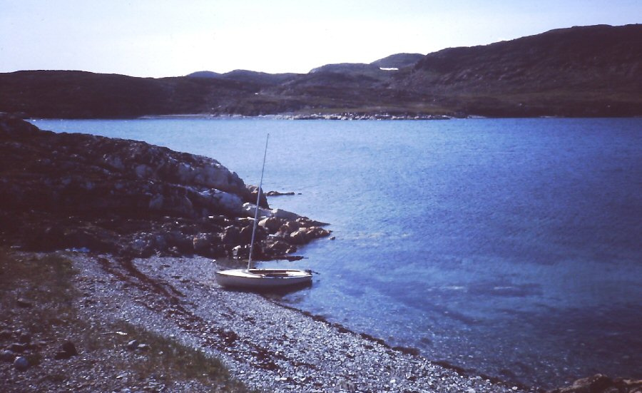 |
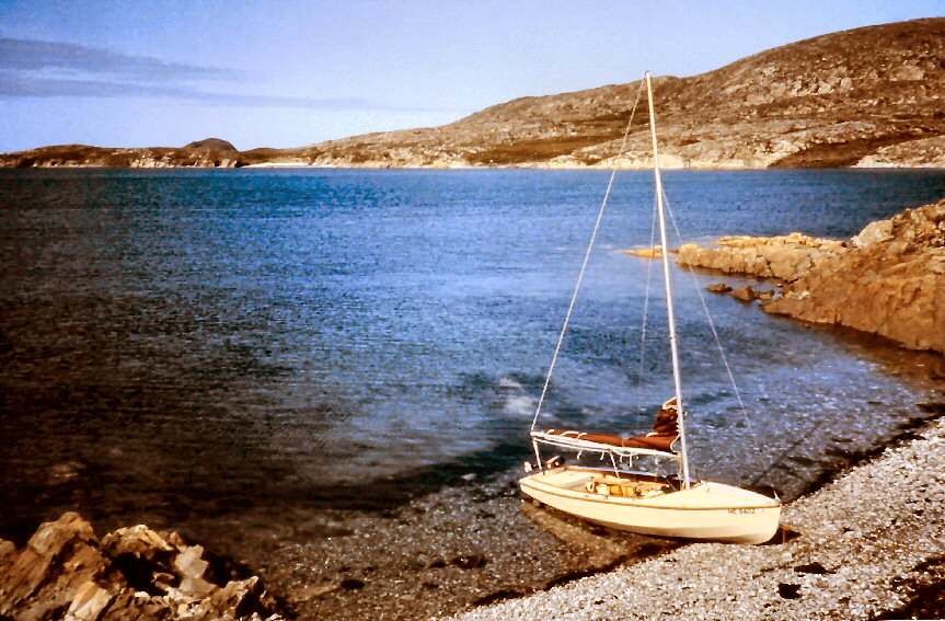
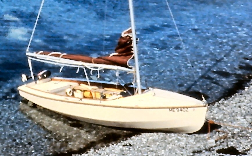
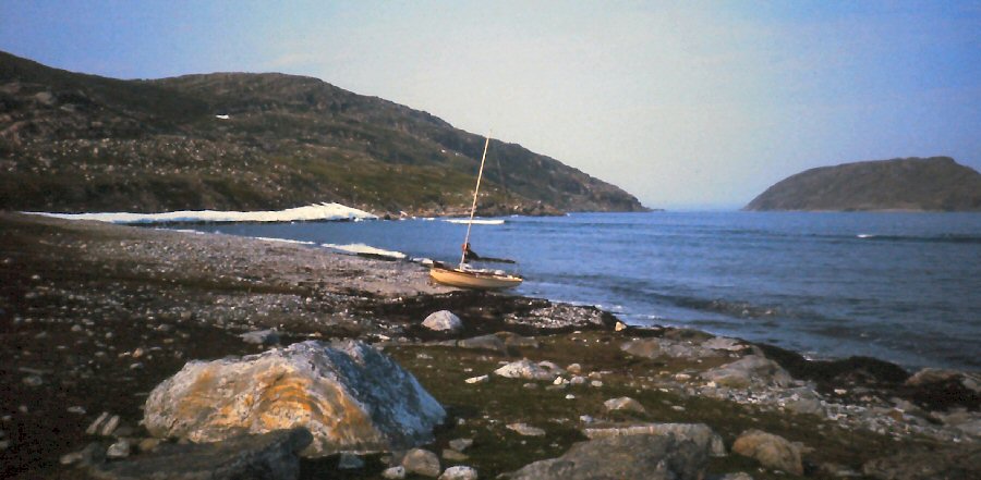
| Drummer beached
for lunch ashore ...
- click here for
larger image ........ |
 |
 |
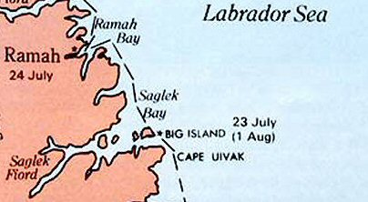
| ... in Saglek. ........ |
 |
 |
 |
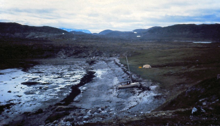
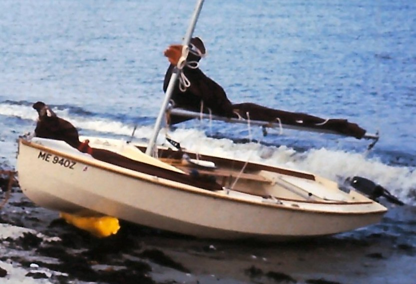
| When the tide matched
tea time, I would beach the boat at high water and plan
to be off in 12 hours - click here for larger image ........ |
 |
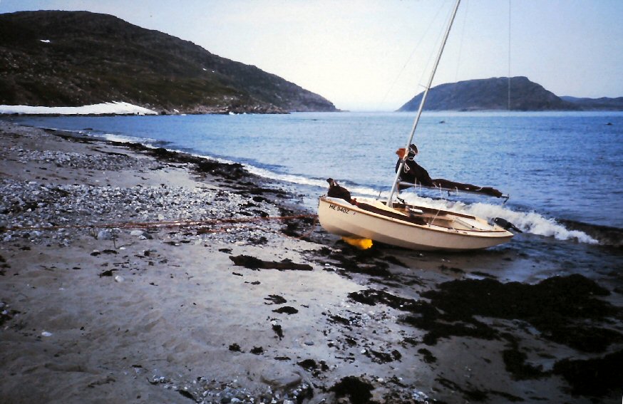
| Mid-tide haul-outs
required the inflatable roller and the 7:1 block and
tackle rigged with ... - click here for larger image ........ |
 |
 |
| ... parachute chord. |
| next photos page return to index page |