| Visibility
: 'Fair in showers and poor in fog' Jim Fraser and Allan Parry's June 2006 continuation cruise on the Eastern Shore of Nova Scotia in Wayfarer 8328 ... |
| Prologue: Jim Fraser wasn't happy.
He had
ordered a Secumar masthead buoyancy
and re-arming kit from Europe. When it arrived, the CO2
cylinder from
the re-arming kit had been removed. He was told that
this was a
dangerous device and couldn't be sent by air or land
post. Jim pointed
out that, far from being dangerous, CO2 was a fire
extinguishant and
that there was such a cylinder under every seat in the
aeroplane. This
fell on deaf ears. Jobsworths 1, Jim 0. Fortunately,
they hadn't
spotted
that the buoyancy device already contained a CO2
cylinder!
I had my own problems. I hadn't even left Manchester airport for Gatwick when there was an announcement over the tannoy "Will Mr Allan Parry ..." My heart sank. It turned out that my new hold bag hadn't even survived the first onslaught of the baggage handlers, and was spilling my camping gear all over the airport. Large amounts of duct tape solved the problem but dented my sophisticated world traveller image! The eventful trip ended with an exciting landing in Halifax in the tail end of a tropical storm. The applause following the eventual landing was more heartfelt than normal! 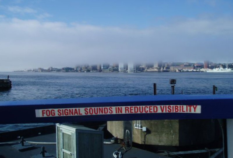 Fog over Halifax, NS Jim and I had sailed most of the Atlantic coast of Nova Scotia on previous trips, and the Eastern Shore from Sherbrooke to Louisburg was the last missing bit. The Eastern Shore is a wild area. In its heyday it was supported by the huge fishery of the Grand Banks. The whole world fished the grand Banks where the cod seemed to be inexhaustible. They weren't, and the area now is in sad decline. Many fishing villages that flourished in the good times have now completely disappeared. The remaining wilderness makes for great Wayfarer cruising so long as you don't want too many home comforts. We got Jim's W Naomi and all our stuff to Sherbrooke, the end of last year's cruise, and got the car back for Gail's use by much shuffling of assets on the local bus. The bus trip was a microcosm of the area's problems. The bus was to finish at the end of the month because its government grant was being stopped. We were asked to sign a petition to save the bus; without a car, the locals had had it! 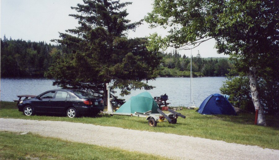 We had a nice stay in the Sherbrooke campsite (above) apart from the black fly attack. The tropical storm had given them a new lease of life late in the season and they were vicious. The other 'campers' in their giant motor homes didn't seem to notice the black fly much and must have viewed us in our protective hoods as ethnic entertainment. ... |
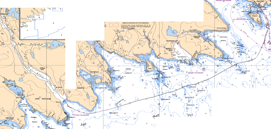 Note: You can see much larger versions of the charts by clicking here: chart 1 chart 2 chart 3 chart 4 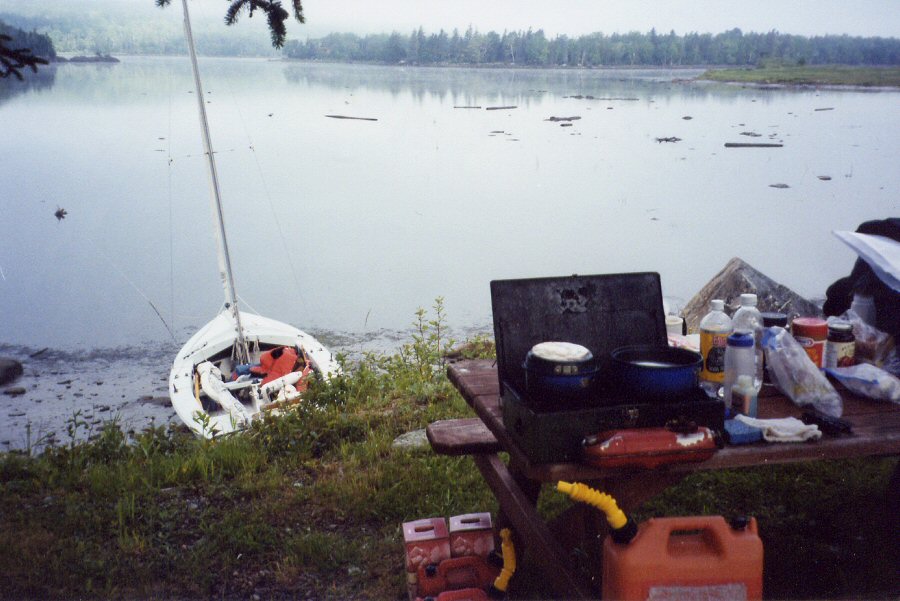 Sherbrooke: Waiting for the tide 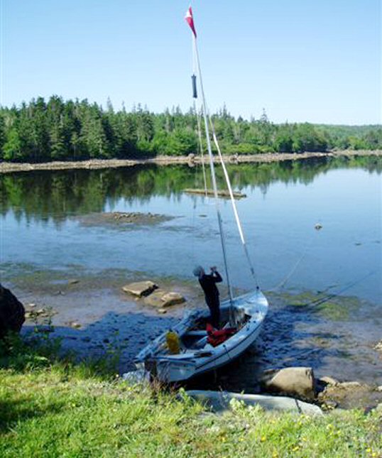 Sherbrooke, hoisting the ... 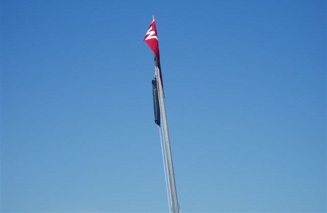 ... masthead buoyancy Day
1: Anyway, next morning, off we went, still
in our silly
hoods down
the St Marys River. ''You
can't
do what we're
going to do," we
thought
as we sailed off in our little boat.
 Mouth
of the St. Marys River
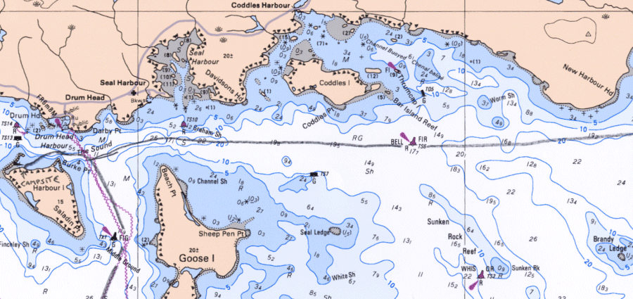
It was eight miles down river to Cape St. Mary where we turned east and crossed Indian Harbour to enter the Isaacs Shoal .We passed between the Castor and Pollux rocks that were showing white water in the Atlantic swell. In those conditions, anything that does not show itself by waves breaking, is too deep to trouble a Wayfarer. It was here that we had a bit of a shock. The visibility had deteriorated badly and we were heading for the GPS waypoint of a large channel buoy. Suddenly Jim spotted white breaking water directly ahead. While we were panicking and trying to find it on the chart, out of the fog came a large channel buoy with the top covered in birdlime. The GPS can be too accurate sometimes! It was getting late, so after crossing the entrance to Country Harbour, we turned in behind Harbour Island to look for a campsite. 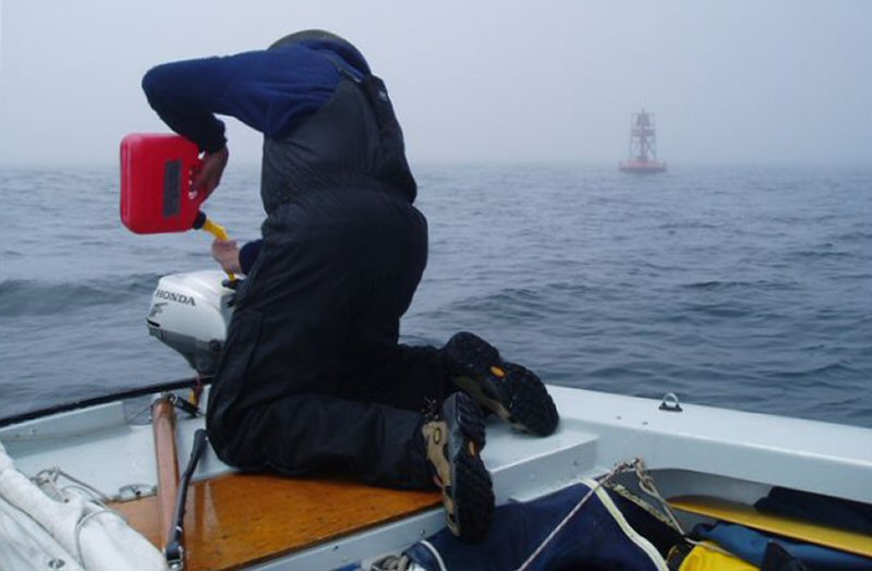 Jim refuelling in fog  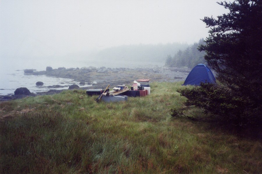 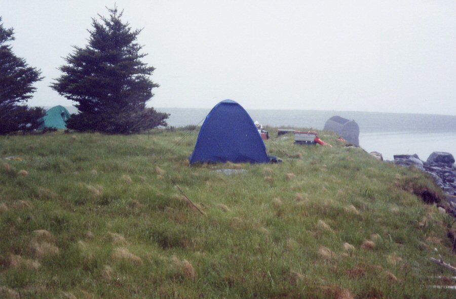 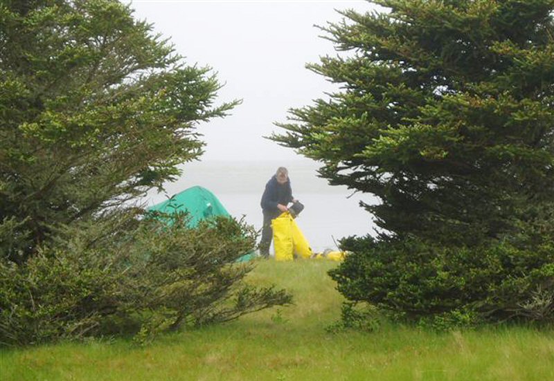 There was a likely looking spot in the bay behind Lighthouse Point. We were tired as we had covered twenty-four miles that day. Harbour Island camp was a good choice. Nice and flat for two tents and uninhabited by people or black fly. 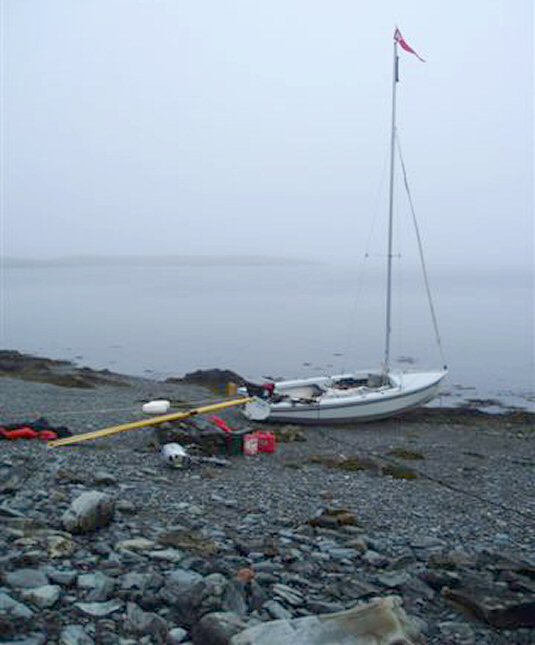 Misty start, Harbour Island |
 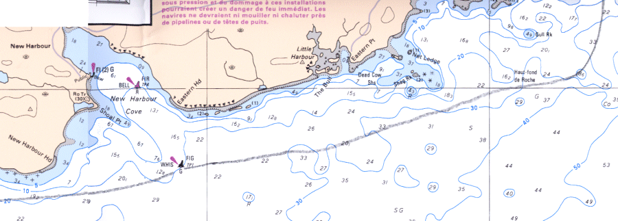  Day
2: The next day's forecast was for
strengthening SW winds,
so we pushed on
along this exposed section of coast and reached the
comparative shelter
of Tor Bay in fifteen miles. We sailed across Tor Bay
inside the line of protecting islands covered in birds.
The birds were
so numerous that they had killed all the trees on these
islands with
just a few stumps remaining. Further across the bay were
some stunning
potential island campsites but we were worried about the
shelter they
would afford and whether waves would refract around them
making the
beaches untenable for a Wayfarer.
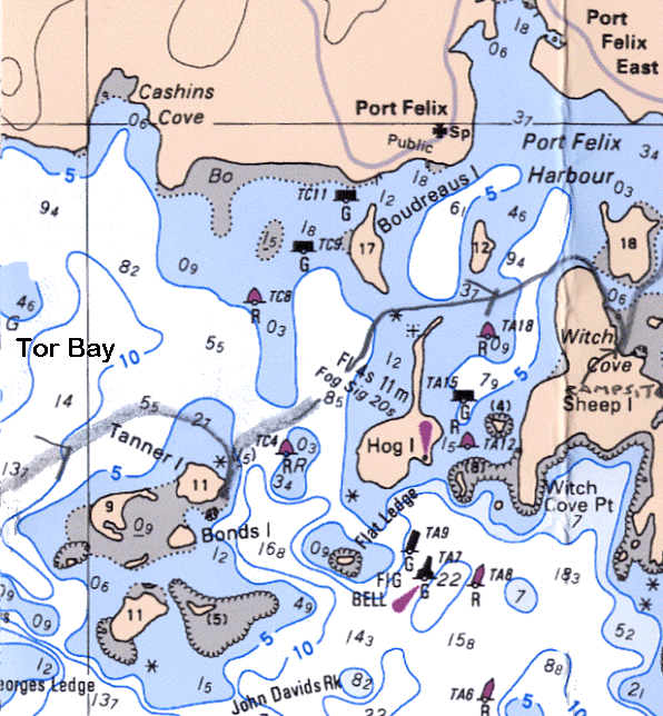
...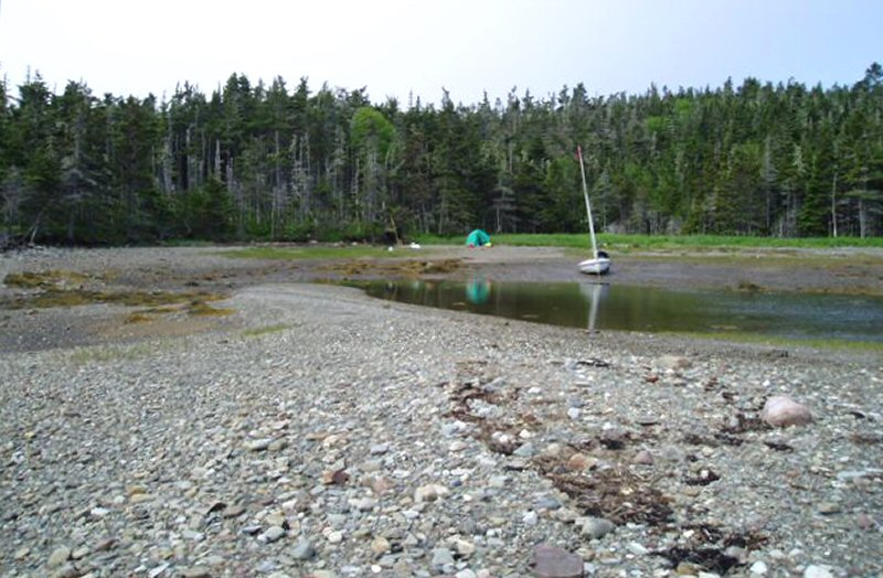 Sheep Island 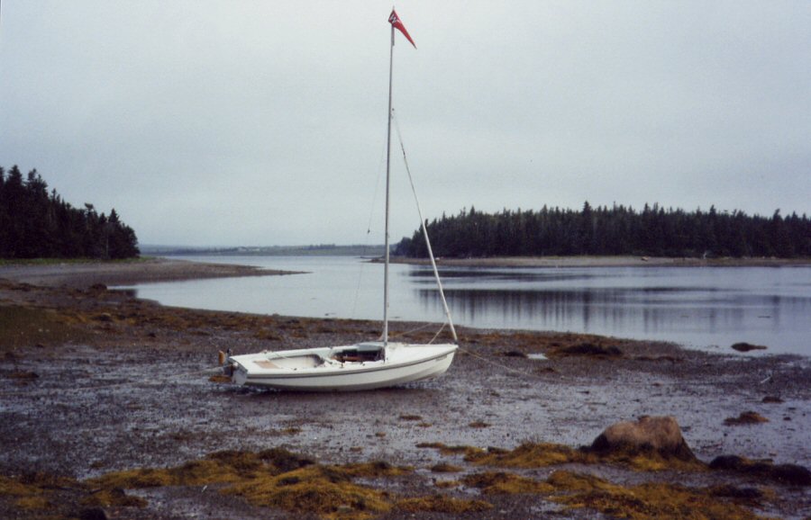 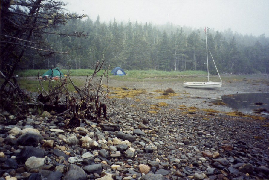 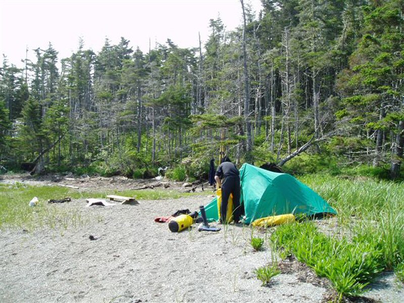 Sheep Island camp We pushed on to a very sheltered site on Sheep Island and made camp. We had covered fifty miles in the two days so reckoned we deserved a celebration. We had a nice campfire, a meal and attacked the wine box of Sawmill Creek. |
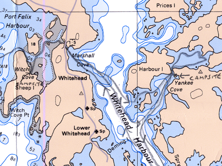 Days 3 & 4: In 1850 the local fishermen, getting fed up with dragging their boats across the isthmus between Tor Bay and Whitehead Harbour petitioned the authorities for $50 to build a small canal. 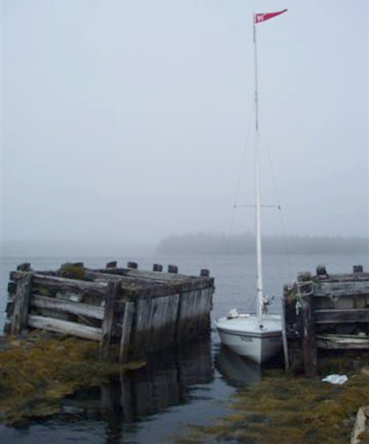 Torbay-Whitehead canal 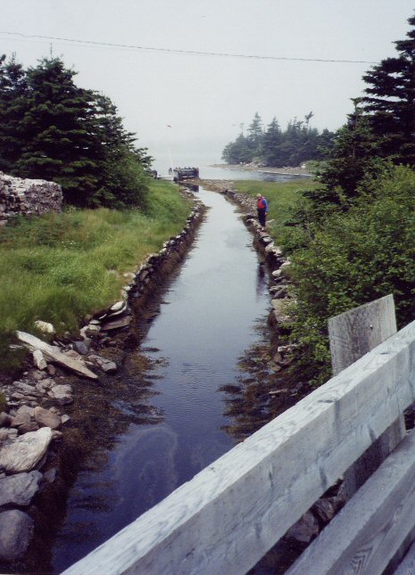 We wanted to transit this canal as it has become a Wayfarer tradition, having been used by Frank Dye, Dick Harrington and Ralph Roberts. 'Canal' sounds rather grand. 'Ditch' would be more accurate. 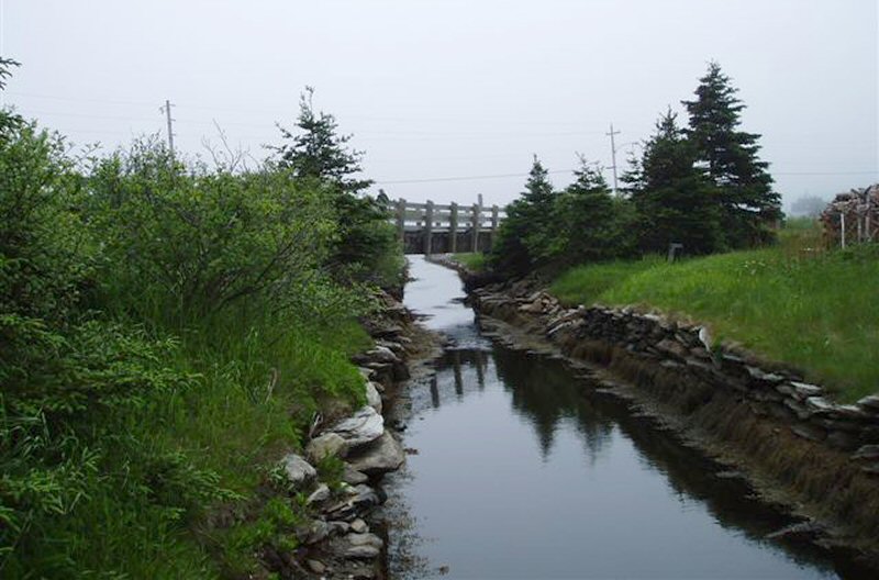 The chart shows an air draught of 1.5m so the mast had to come down to get under the road bridge. It was too shallow to sail, too narrow to row, and had no towpath. 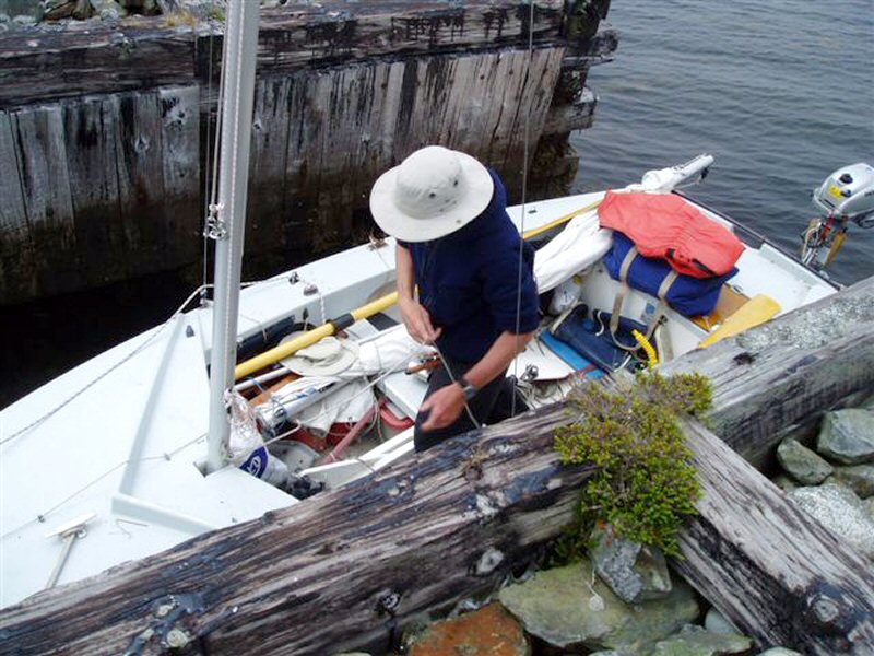 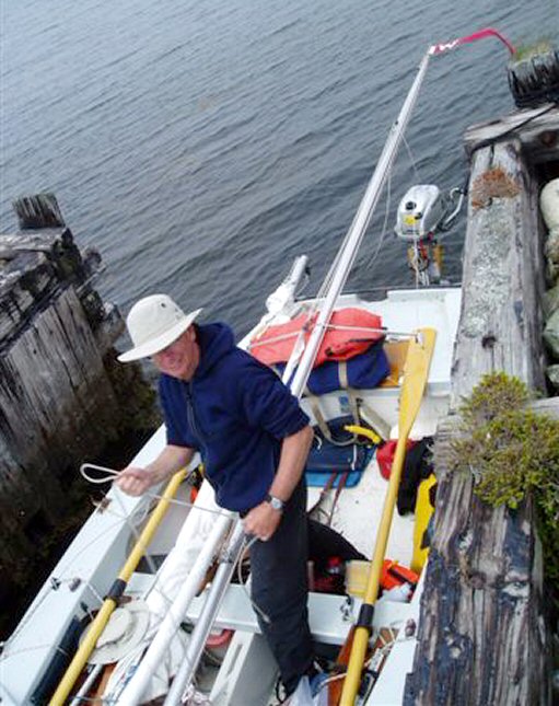 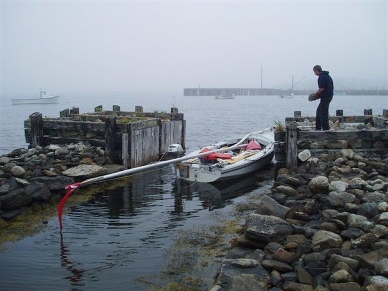 Canal exit. 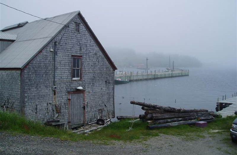 Whitehead A pole was whittled and, by a combination of towing and punting, Naomi was brought through into Whitehead Harbour at Marshall Cove. Being near Tor Bay, you might think Marshall Cove would resemble Torquay. Not so. It was foggy, there was no shop , café, public telephone, or anything much. We sailed across to explore Yankee Cove, so called because the American fishing schooners would gather there for a get together before sailing to the Grand Banks. There was a village at Yankee Cove in the 1850's with its own school, church etc. 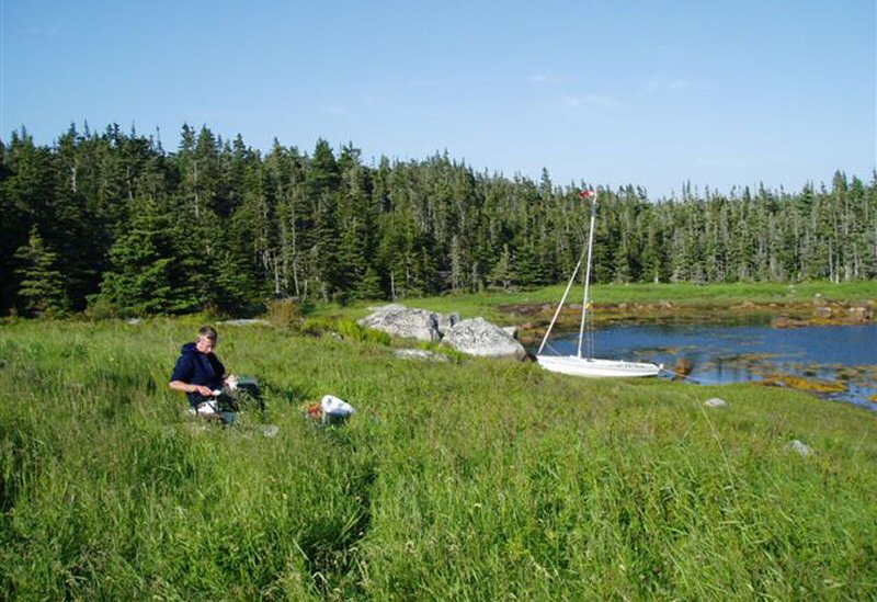 Yankee Cove 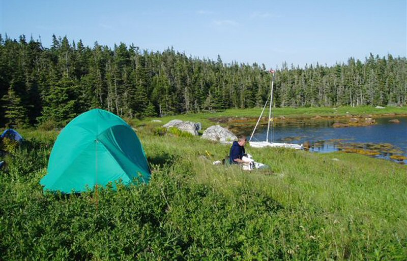 Yankee Cove camp We found a good place to stay and set up camp. Strong SW winds were forecast, so we would be there for a day. At Yankee Cove camp, we spent the next day washing laundry, shaving and exploring. 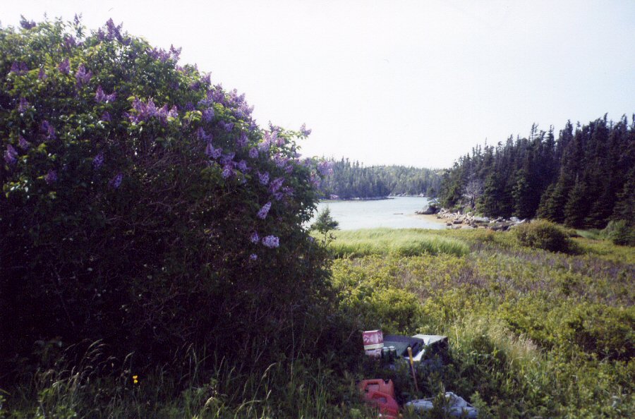 There were few signs of the old village - just lilac trees, the odd gooseberry bush and square holes where the basements of houses had been. Nature had almost completely reclaimed the area. 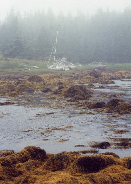 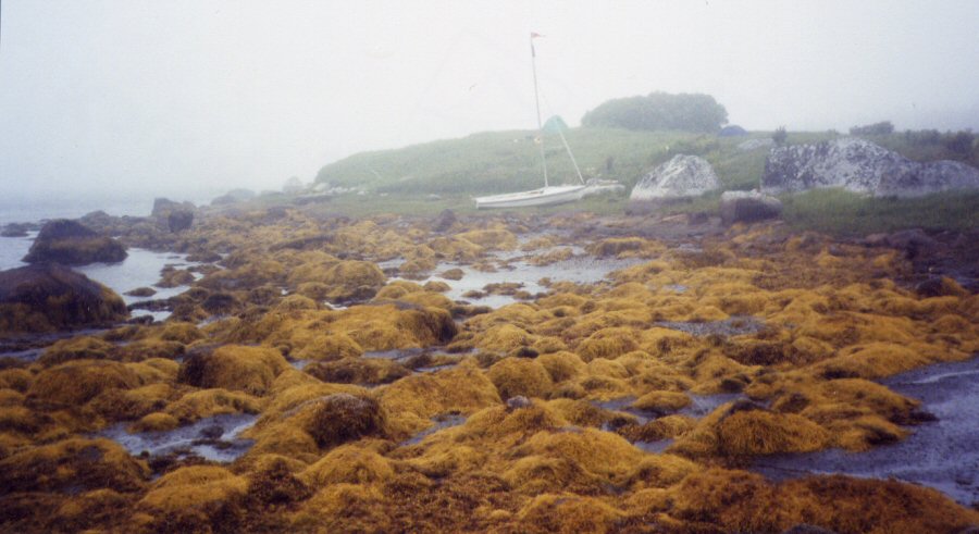 |