| Round
Georgian Bay by Joy Phillips (W866) * July 14-31, 1973 Part 1: July 14-16 ... |
| July 14th Saturday.
After driving
since 0500 when we left our motel, Alan and I arrive
at Pengallie Bay about 0830, to find an enthusiastic
welcome and a bacon-and-egg breakfast all ready.
The lake level is 2ft. above usual this year, and the
dock at the head of the tree-lined bay is partly
submerged. Fortunately, Tom waited till the end
of the day to mention the water-snake he had seen
swimming away while we ate breakfast.
  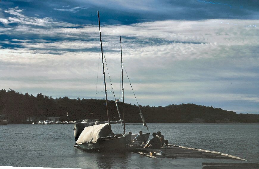 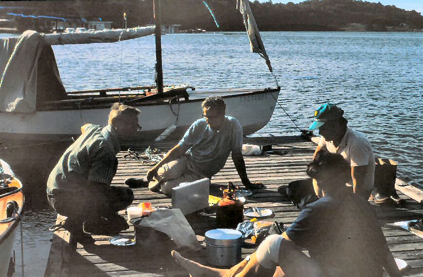 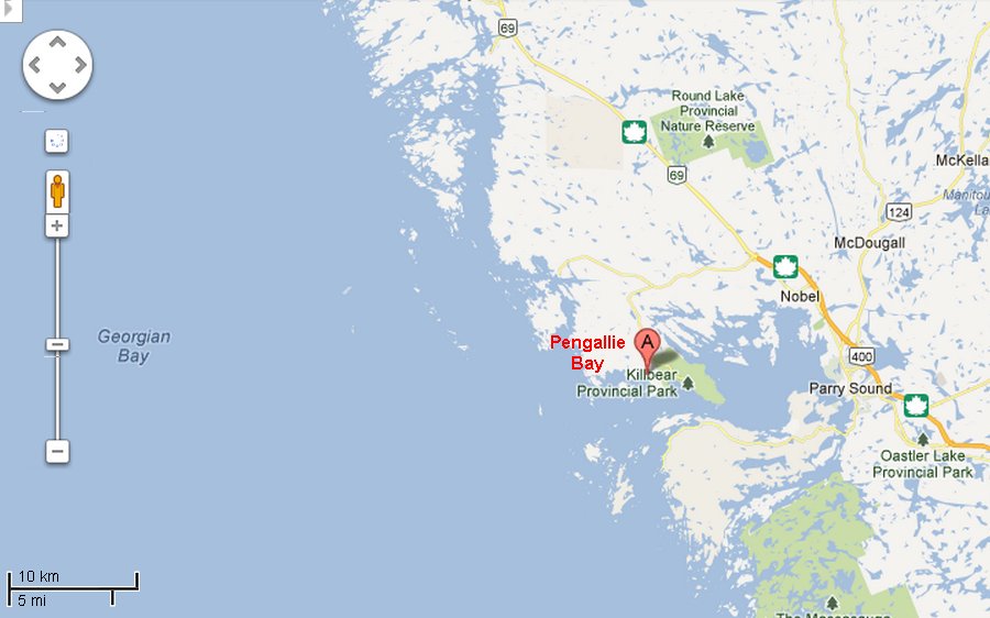 Everyone else -
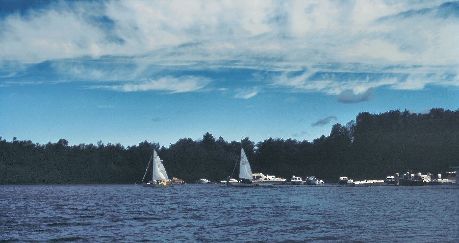
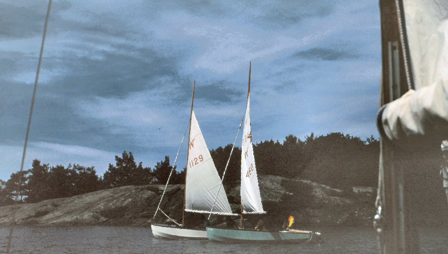
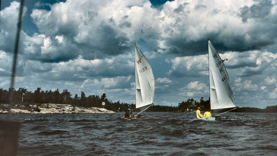
that is to say, W460 with Don and Connie Davis, and
W1129 with Tom Dawson and Pete Hanson - had been there
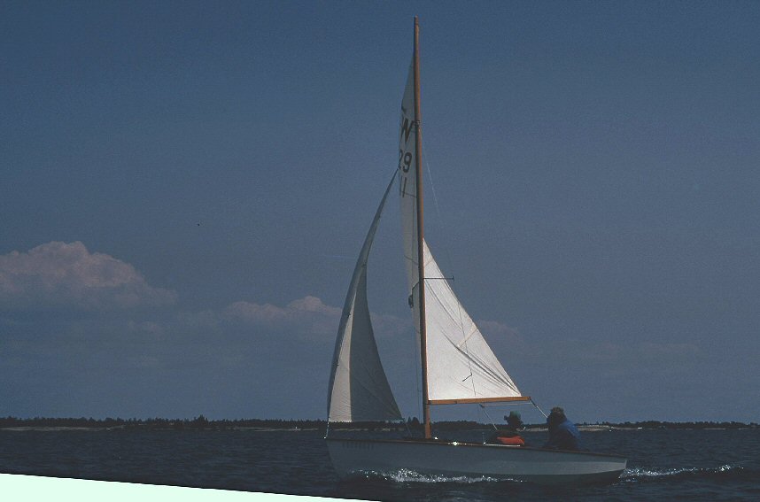
the previous night, so we loaded Kingfisher (W866)
with all our gear. The others were rather
alarmed at the amount of stuff we had. But who had
bread (home-made, at that) for the whole party five
days later, when we still hadn't met a store? Who had
Zipper-ease when the Commodore's tent zipper acted
up? Who had basic tools, including a drill, when
occasion arose? But that's another story.
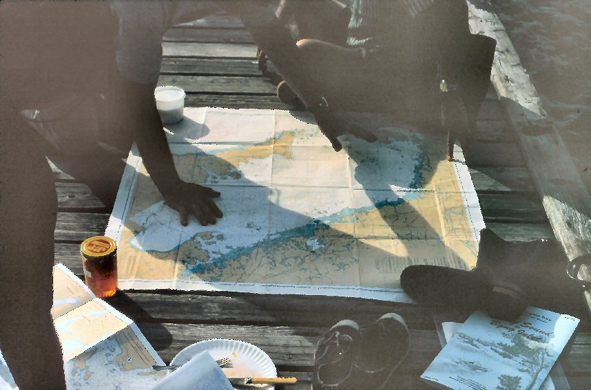  By 1100 Don and
Pete had stocked up the cellars, and we were off,
under reefed main only, with the jib furled around the
forestay; we left Killbear Marina in a good,
stiff breeze - Force 5, SW - and bright
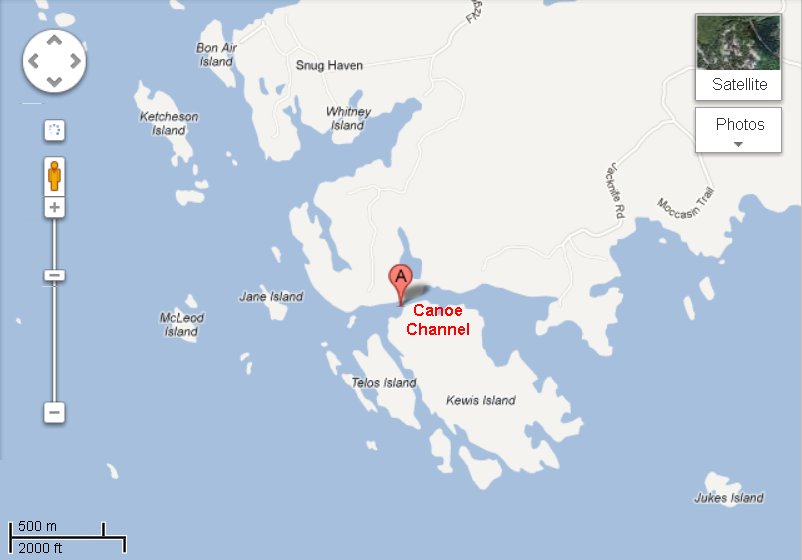
sunshine. An hour later we were going through
Canoe Channel, and the Log reads "Wow! Narrow
channel, 4-5 boat lengths wide. 10-sec. tacks
in teeth of wind." A caution note on the
chart drily remarks that "Canoe Channel is
considered unsuitable for vessels over 40ft. in
length." The land up in this part of
Georgian Bay is rock, with trees coming right down to
the water's edge. Parts of the coast are sheer
rock walls.
The sunshine and blue sky made this a very pleasant experience until 1350, when, with a sharp report, our gooseneck broke and the reefed main came tumbling down. My first thought was that the boom had somehow come off the gooseneck, and I remember being puzzled, rather than alarmed, at finding no gooseneck to put the boom back onto. It was blowing fairly hard, rocks and rock islands quite close, the main lowered and the jib still furled. The jib sheets were temporarily inaccessible under the main, so I unfurled and hand-held the jib while we headed for a little protected harbor by a private cottage. The owner, a charming elderly gentleman, came out to see what was going on. It turned out that he was a retired lawyer, and when we asked whether he minded our tying up to his dock for repairs, he said he didn't mind, but that in any case he was bound by law to let us stay up to 24 hours, as we were distressed mariners! We had a hurried and not very successful search for the gooseneck, which had gone with such a bang that we felt sure it was on the bottom. Imagine everyone's astonishment when, part way through the repair job, Pete pointed in silence to the foredeck and there, right beside the lifting handle, lay the broken gooseneck! It was useless, of course, except that it gave us the measurements to try and get another. But it had survived all the tossing and all the swishing of the jib. A jury rig was
completed in short order. Alan unscrewed the
gooseneck track from the mast and wrapped the mast at
that point in heavy line. He padded the end of
the boom with a sturdy cotton dishcloth secured with
duct tape (which, by the way, survived all the wetting
it got during the following week and was still as firm
as ever.) Then he drilled two holes through the
boom just behind the padding and tied the boom to the
mast with strong line though the holes. This
arrangement worked beautifully, and we went half-way
round Georgian Bay like this. The one
disadvantage came in hoisting or lowering sail, or in
reefing. We had half-a-dozen reef knots to undo
each time. Our bag of tools had been justified
in the first few hours! Alan and Don recalled an
exchange just before we left: Don: "Do you
need this?" Alan: "Well, there are some types of
repair which you just cannot do without a
drill." The log shows the repair finished at
1430, and the flotilla under way again at 1440, so the
whole incident took less than an hour.
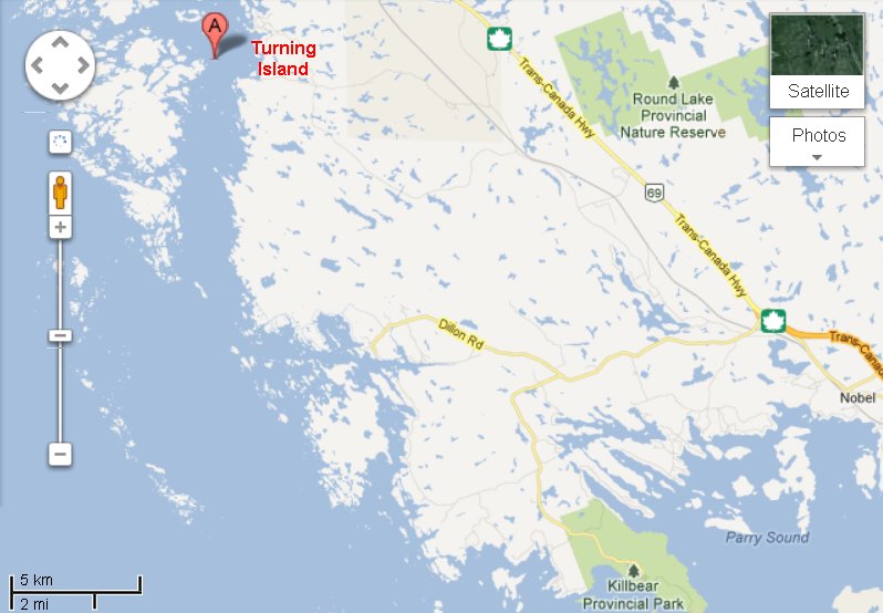 We did have to
stop and adjust the jury rig once, at 1625, but
otherwise things went smoothly, and the next entry
shows Turning Island abeam at 1640. Shortly
after that, Ken Hassard, who had invited the group to
his cottage for the night appeared in a motorboat
named Smile! And took a photograph. We
were the only ones who did not know it was Ken, and we
may not have obeyed this order. At 1745 we
landed at the Hassards' cottage, and it was smiles
from there on.
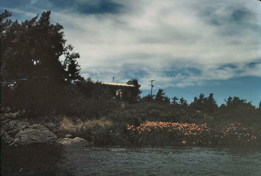  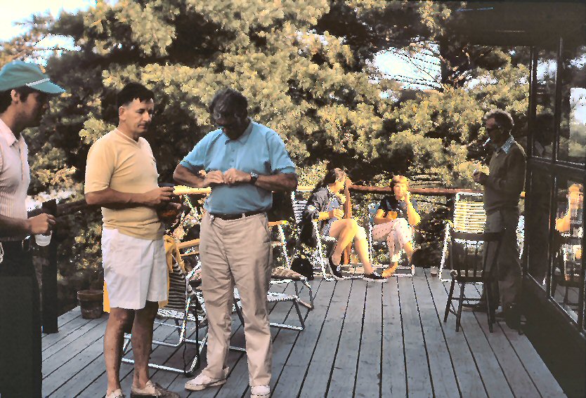 What an energetic and kind couple Ken and Dorothy are! All were made welcome, friend and stranger alike, in this lovely cottage they have built with their own hands, perched on the rocks of Tonches Island. In fact, strangers quickly became friends in the home of this gracious couple, and their four enterprising youngsters. (Judy and her brother were out on their paper route - by boat - when we arrived.) Ken knew exactly who to ask about our gooseneck plight, and late that night, when the hardware store in Pointe au Baril was closed and its owner back home on the next island, Ken took Alan over to discuss it. Late as it was, he came back to look at the problem first-hand. July 15th Sunday. The next morning Ken found a welder in Pointe au Baril who tried for some time to weld the broken part. However, he did not have the equipment to weld stainless steel, and no-one had a gooseneck in stock, so we carried on under jury rig. From Pointe au Baril, Alan called Hugh Thomas in Huntsville to see whether another could be obtained. Hugh suggested that he call George Blanchard and get one shipped to General Delivery, Tobermory. 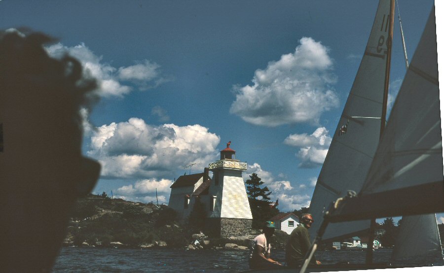 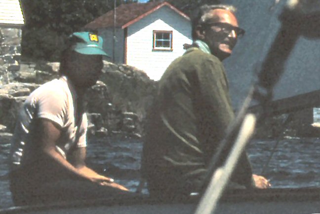 1345: Don
dropped the Hassard youngsters off when Ken met us in
Hassard at
Pointe au Baril Light, and we departed the Light,
feeling that we were now on our own. The next
two hours took us through two brief "outside"
passages, round such interesting-sounding spots as
Nares Ledge and Hangdog Reef, but were mostly spent in
inside passages between the islands, through Shoal
Narrows and Hangdog Channel. The land is very
broken-up here, with lots of tiny islands and narrow
passages, though the marked Small Craft Channel never
seems less than 200ft. wide.
1545: After
leaving Hangdog Channel and entering Alexander
Passage, we stopped for lunch. We spent only
twenty-five minutes on this, though you may be sure
that with all those Englishmen around, tea was brewed
up. There was never much question about whether
to brew up tea - it was usually a question of making
it a two-bagger or three-bagger.
1610: Off again. We saw many interesting boats from (relatively) faraway places and the first of these was a catamaran we met just as we came out of Alexander Passage. She was from Camden, Maine, about 1,000 miles from Georgian Bay. We had been
aiming for a possible camp on Bourchier Island, and
for the next 5 miles, on an outside passage, the log
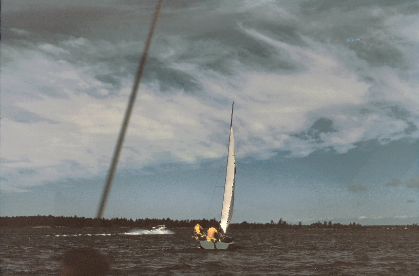
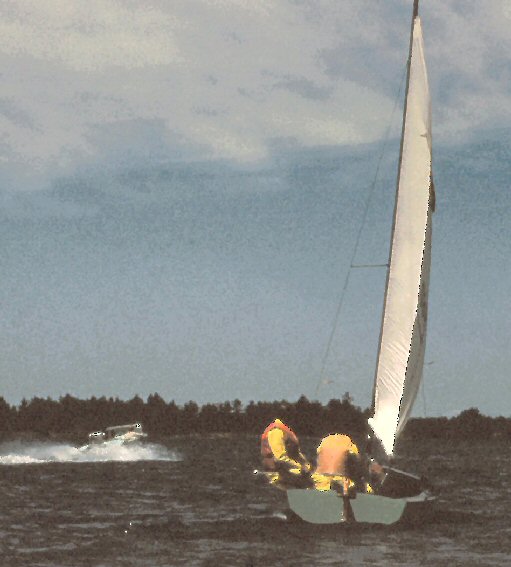
records: Wild ride on long close reach. Wind
15, gusting to 20, West 3ft. waves, choppy and
confused, putting much water in boat. Don, who
had delayed putting on foul weather gear, claimed that
one wave came in over the bows and went out over the
transom. When asked what he was doing, he replied,
"Sitting there, getting wet."
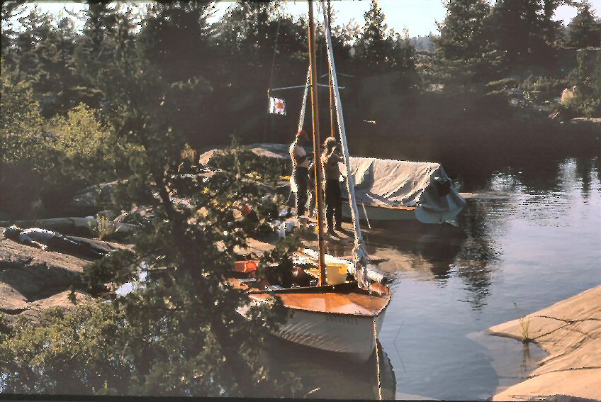
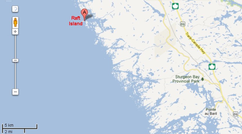 1900: Put in to the north side of Raft Island, adjacent to Bourchier, for camp. Nice little protected cove; swam, cooked supper - almost perfect tables of smooth rock. Here, as always, we slept on the boat. We were usually tied up to a tree, with a stern anchor out. Perhaps this is as good a place as any to discuss equipment. Each boat had a boat tent; for those who have not seen one, the after end of the boom is supported on a boom crutch that stands on the after-deck. The boat tent is thrown over the boom and has a collar that wraps round the mast. It comes to a point over the bow, and some gear can be stored on the foredeck. The after end of the tent varies from tent to tent; ours has a complete mosquito-netting triangle that zips in and is interchangeable with a canvas triangle for bad weather. Others have a mosquito-netting window in a canvas triangle. The neatest fastening round the bottom of the tent is a set of studs just under the gunwales. Ours has (at present) a set of lines fastened in grommets, and the lines have to be led under the boat. One end of the line was made fast on, say, the port grommet, an empty bleach bottle was tied on the other end, and held in the spinnaker-pole snap. The line, with plastic bottle, was pushed just under the boat and the spinnaker-pole snap released, so that the plastic bottle popped up on the starboard side carrying the line with it. For some reason, Alan abandoned this system and nightly embarked on a perilous walk around the gunwales, carrying the lines. We shall install snap studs at the earliest possible moment. We and Don
carried land tents, but this was a waste of space, at
least on this cruise, as we never used them. The
land was rocky wherever we stopped, and possibly the
known presence of rattlesnakes in this part of the
country might have had something to do with it, if we
had found a suitable site. (We never saw a
rattler.)
Each boat
carried a stove - no two were alike - and a set of
nesting dixies. We were the only boat carrying a
cooler chest. At first, we used this in the
ordinary way with ice. After the first lot of
ice melted, we found it more convenient to use the
cooler as a food locker without ice. This was,
all staples, dishtowels, detergent, knives and forks,
matches (in Ziploc bags) - in fact, most of the
paraphernalia needed for the evening - were in one
container, and needed only the addition of stove,
dixies and a can or two, to prepare supper. We
either bought a small amount of perishables and kept
them without cooling for a day or two, or else did
without. The cooler was an effective chart table
in the daytime. We carried a 3½ gallon jug of
drinking water for those places where the Georgian Bay
water was not drinkable. Two boats carried
hurricane lanterns, and found them very useful, not
only as light for reading or card games in the
evening, but also to dry everything out when they were
left in the boat with the tent up, over supper.
Lashed with shock-cords, they seemed to be perfectly
safe. Two boats carried portable radios with
marine bands and, while the interpretation of Mafor is
another story, we felt more secure with weather
forecasts.
For sleeping,
everyone had an air mattress and a sleeping bag.
Alan and I have camped (on land) for about thirty
years and have never used an air mattress on Mother
Earth. However, wooden floorboards are not quite
as resilient as earth and tend to get wet on a brisk
day, so rubber air mattresses were welcome. They
had to be pumped up each night, which was a bit of a
chore. Pete had an effective foot-pump which
fitted everyone's air mattress except ours - until he
cut 2-inch lengths off the rubber hose of a bilge pump
and installed them over our valves. His pump
fitted the other end, and thus equipped with Hanson
Air Mattress Adapters we spared our lungs with one
foot. Anchors were very important at
night, and it seemed that grapnels were more effective
in rocks, than the Danforth type. We had two
Danforth-type anchors - one 6-lb and a light one, as
well as a tiny grapnel. Tom had a 20-lb grapnel,
Don a 9-lb grapnel. Six feet of heavy chain was
essential to prevent chafe on the rock bottoms.
Boat compass was essential, and hand-bearing compass a
big help - you have got to be able to navigate
accurately in fog. We carried a running light and
anchor light but only used them once each.
Other essentials
are small:
Food needs to be simple. Canned goods were kept in the bilge, after writing the contents on the end with a grease-pencil. Labels washed off and plugged the self-balers - next time it would make sense to tear them off at the start. July 16th Sunday. 0630: Woke to
another sunny day; swam, had breakfast and packed
up. The log notes that first packing-up was
rather slow. Commodore checked time by WWV, and we
were off at 0930. Later experience showed that
the wind didn't get up till 0930 or 1000 anyway, so
there was no point in hurrying. In a gentle
breeze from the West, we set off for the Bustard
Islands.
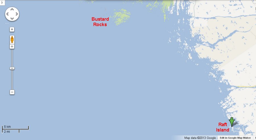 A couple of loons were seen swimming ahead. Years ago, we used to hold conversations with loons, whose call is fairly easy to imitate. Tried it with these which promptly dived. I must be out of practice. 1025: Passed Buoy 87, a little over 1 mile from Raft Island. Tom and Pete went south round Norgate Rock, retracing the previous night's course further than we did before turning West, but finally tacked, to the relief of us all. Later they claimed this was intentional - "to get a better breeze." 1035: Tom caught up. 1038: Passed Mark 91, 5/8 mile further, in fairly open water. Channel skirts a wide, shallow shoal on starboard (NE) side, with a few marked rocks on port side. 1047: Passed 110, having cut a corner to come onto a course just E of N, bringing us back to the islands. 1049: Passed 95 at entrance to Danny Island Channel. 1058: Sandy
out of San Francisco, a good-looking 40-footer,
passed down Danny Island Channel, under motor.
One lone, bearded mariner aboard.
The next twenty minutes took us ENE and N through a narrow, well-marked channel and past the Gereaux Light, across the mouth of Byng Inlet, 1120: Passed 111, between the North and South Channels of Byng Inlet, marking McNab Rocks. Half a mile further on, we joined the mouth of the North Channel for about 2 miles of open water sailing on a NW course. 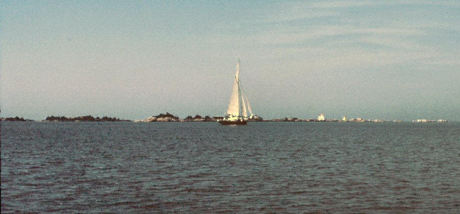 1200: Turned down into Cunningham's Channel; rather less than a mile between islands and shoals, where the narrowest part of the channel is about 150ft. wide. 1208: Rounded 11 out of Cunningham's Channel, for a 2-mile stretch of open water. 1230: Lunch on Golden Sword Island. 1330: Off again, once more among little islands. 1410: Out of
Rodger's Gut. (Alternative channel would have
been Free Drinks Passage. Whatever possessed Don
and Pete to pass that one up?) Wind W, Force 3,
and bright sunshine. Here, a big power boat from
New York crossed right across Tom's bows. As the
transom came into view, she was seen to be the African
Queen, promptly renamed by Tom and Pete "African
Queer".
For the next 3 ½ miles, the course averaged out about NNW and led us among rocks and shoals, with the islands about ¼ mile away on either side. Then a sharp turn to WNW took us about 6 miles past the ends of long, narrow inlets with fingers of land between, part of which are called "The Shirt Tails". For the last 3 miles the channel gradually diverges from them, and goes through fairly open water towards the Bustard Islands where we were planning to camp that night. 1455: Wind 10-12kts. WSW 1520: Changed to working jib. On Starboard tack. Noticed port shroud shackle pin undone, leaving shroud swinging free. Did it up. 1600: Saw two 6-man canoes headed SE. 1650: Arrived Tanvat Island (one of the Bustards), and camped on the NE shore. Lots of fun in
camp. Garbage was beginning to be a
problem. We carried it in plastic garbage bags
until we could find somewhere proper to dump it.
We discussed whether it would be polluting to leave
eggshells in a crevice in the rock, and decided not,
as the seagulls do it all the time. Don felt the
same applied to match sticks - after all, they were
growing all around, and we were just putting them
back!
.. |
| next page return to Cruise Logs index |
