|
Dinghy
Cruising Along Nova Scotia's Eastern Shore
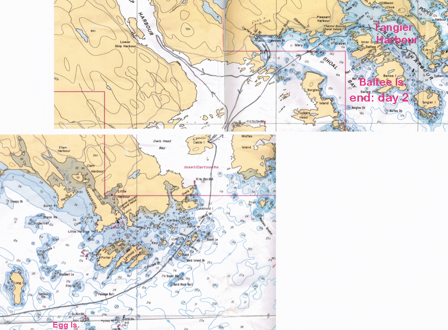
Rob Dunbar sails Celtic Kiss (CL2120) from Dartmouth past Canso to Pirate Harbour on the Canso Strait in September 2006 Days 1 to 3 ... |
|
"Let me
go, pappa! Let me go!” That was my battle cry
as a three-year-old when
my grandfather lashed a line to his dinghy and set me adrift in the
... |
|
Day One:
Thirty-six
years later, I was heard uttering these words: “Halifax Coast Guard,
Halifax
Coast Guard, Halifax Coast Guard, this is sailing dinghy Celtic
Kiss on Channel 16.”
“Did you say sailing dinghy?” asked the radio operator. “That is affirmative, this is sailing dinghy Celtic Kiss and I would like to file a float plan.” “OK, Celtic Kiss, go ahead.” “I am departing I then
provided the particulars of my CL16 sailing dinghy’s safety and
navigation
equipment, which consisted of an air horn, Class "B" flares, floater
jacket, a paddle, 2HP engine, compass, handheld VHF radio, handheld
GPS, 8
charts, two plotters, safety harness and a cell phone.
From studying my charts, I placed us one mile
south of
In the weeks of getting the boat ready to tackle Sleeping
... not a problem as I had two options: The first was to sleep under a
boom tent
on the boat, and the second was a small tent on shore.
As a result of my painstaking hours of
pre-trip planning, I can honestly say that I finally slipped my lines
from the
Shearwater Yacht Club in
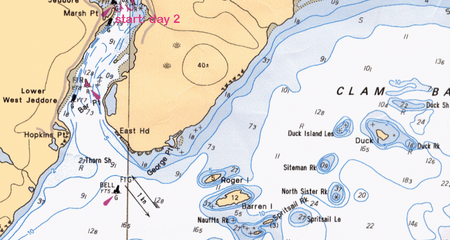
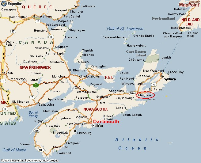 That doesn't sound too impressive considering that most times I look at the actual moving speed, the reading is anywhere from 4.5 to 5.2 knots. So with those results, I planned to make an average daily passage of 20 miles and anything over that would be a bonus. And though the "route" (see map above) from Dartmouth, just outside of Halifax, to Pirates Harbour near Mulgrave on the Canso Strait reads 152 miles on the GPS, I also added an extra 50 miles to allow for tacking in headwinds and landing on islands or finding safe harbours that were not included as an actual waypoint. Now this mileage adds up to 202 miles at 20 miles per day which in a worst case scenario should take no more than 10 sailing days to my final destination. To this I also added two days of non-sailing days to allow for inclement weather and for boat repairs. Thus, in a nutshell, my unofficial float plan was for a 202-nautical-mile trip at 20 nautical miles per day over a 12-day period. Each day was planned for 8-10 hours of sailing time. 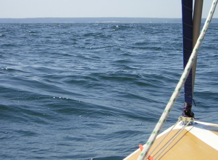 Sea trials in  The dawn of a day long awaited 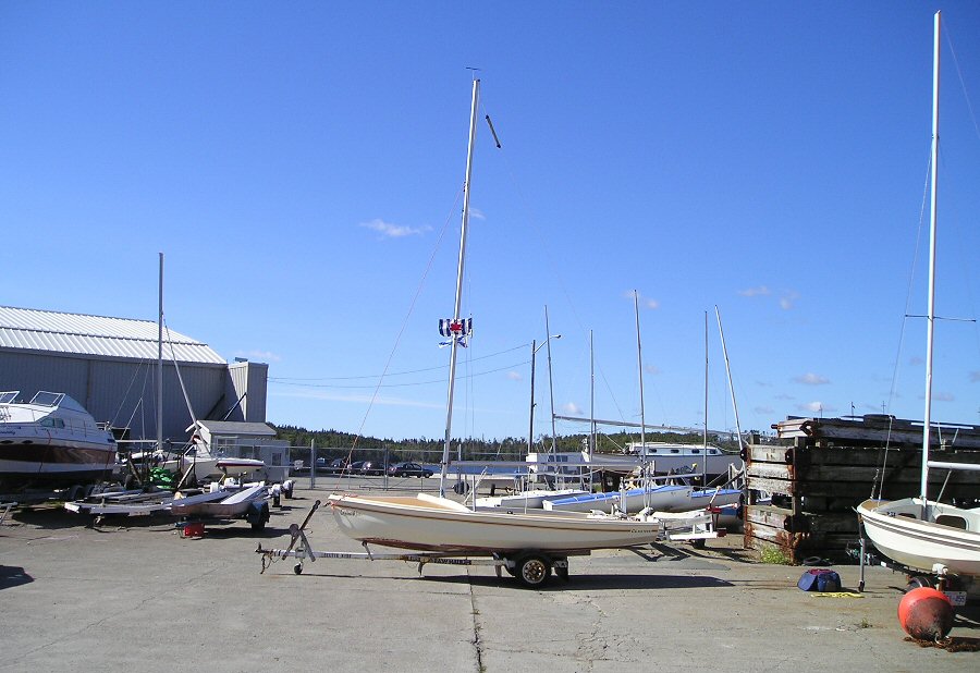 Kiss on the trailer at Shearwater Yacht Club in 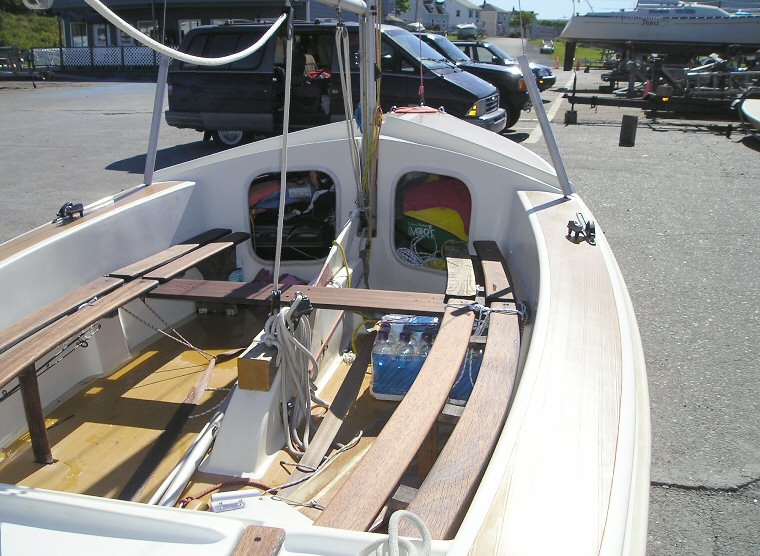 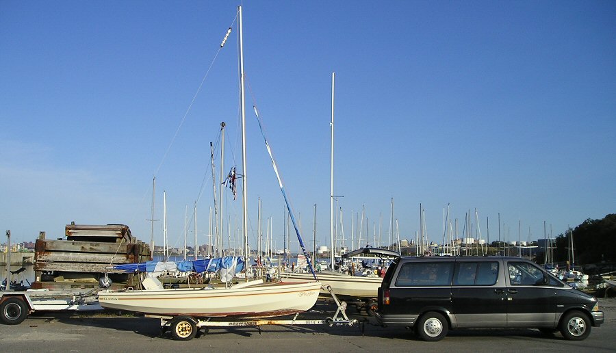 All ready to launch 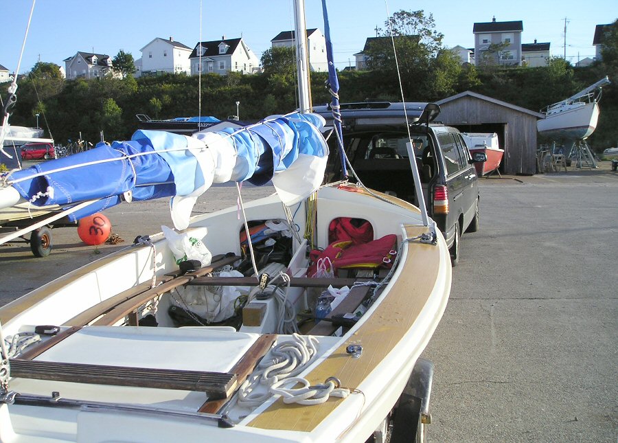 I think I have enough supplies. On the first day out, my OTP (on time performance) was already in jeopardy. I awoke at 0530 and made my way to down to Shearwater Yacht Club to catch the ebb of the high tide at 0730. Despite my careful planning, everything seemed to be quickly unraveling, as it was taking much longer than anticipated to load and re-arrange my final stores and launch the boat. This took a great deal of time and I wasn't able to depart until 1015 and now the NE wind was coming to life. However this later than expected departure allowed a small group of well-wishers consisting of my mother, who was visiting from 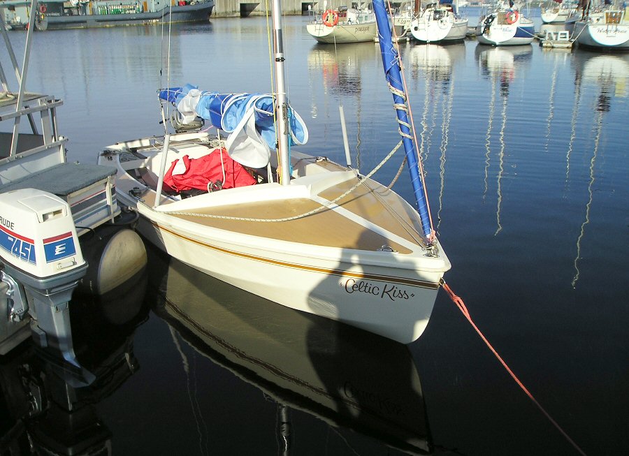 Celtic Kiss sits low in the water but I am happy with the trim. 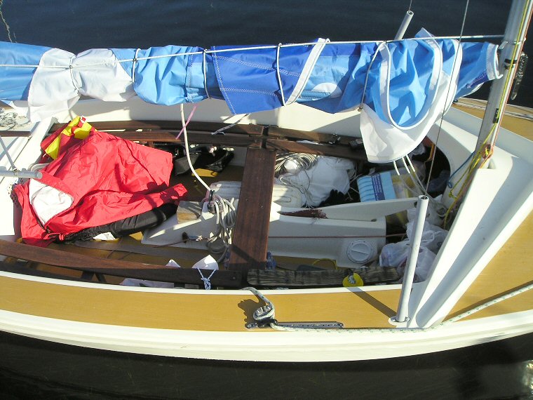 All that’s missing is me. 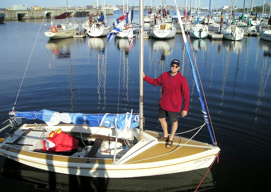 I'm about to embark on a dream. 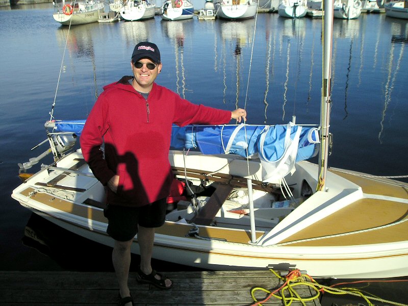 All systems are a “go” When I asked my uncle Charlie to untie my bow line, I jokingly said, “Let me go, Charlie! Let me go!” Ironically, I was told that any wind for my voyage would be favourable, except for a NE. I was just hoping to make 20 nautical miles on day one. 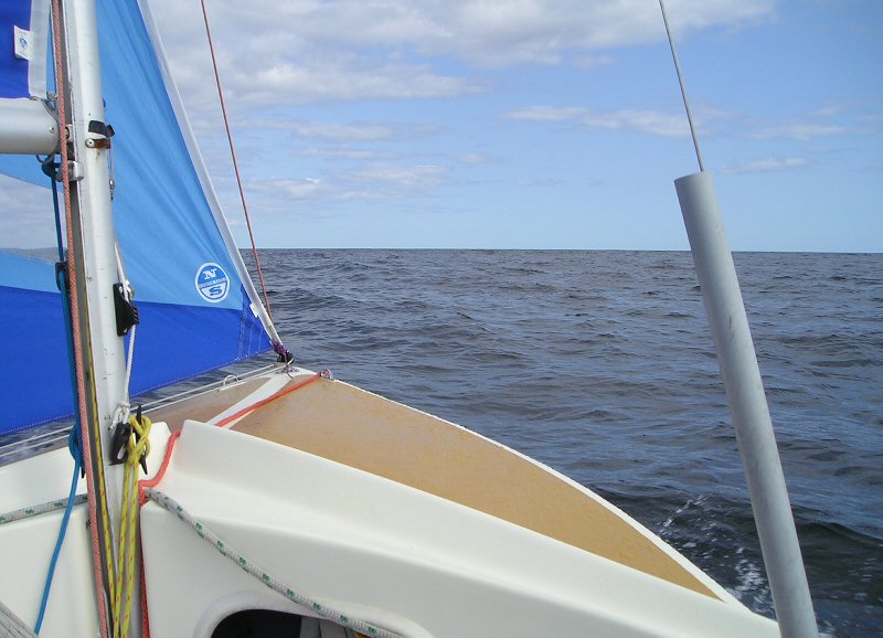 Breaking away from 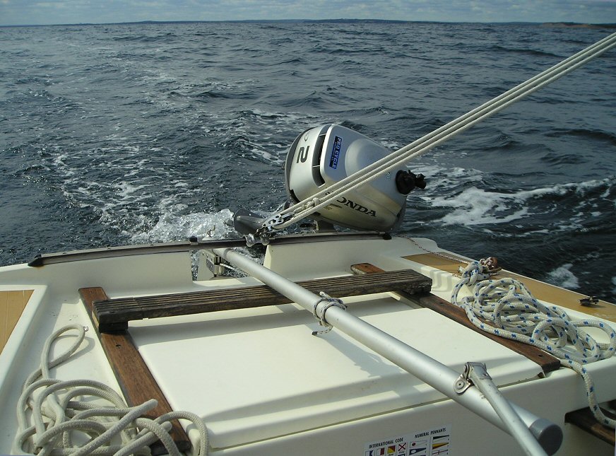 As I was again sailing solo with little weight aboard Celtic Kiss, and given the forecast and current sea state at the harbour mouth, I thought I’d be better off sailing under a reefed main so as not to be overpowered. I soon learned that this was an unnecessary exercise as the added ballast of supplies made Celtic Kiss more stable than I had anticipated. What a pleasant surprise to find my 350lb dinghy behaving like a keelboat. Time to shake out the reef, get on a close reach and watch 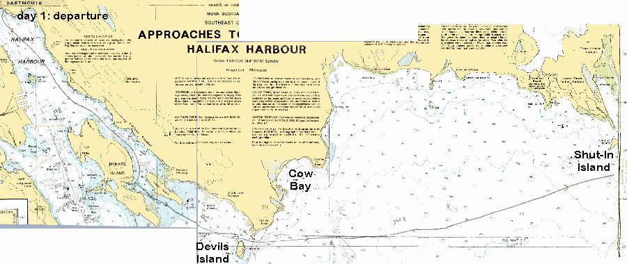 (Uncle Al's note: These chart images have been borrowed and adapted from a similar voyage completed by Jim Fraser and Allan Parry whose course remains drawn thereon. The text inserts are for Rob's log. To remove the necessity of sideways scrolling [for most], these images are reduced to a width of no more than 900 pixels. Links to full-size images of the charts in the order Rob would have used them are located on this log's index page.) 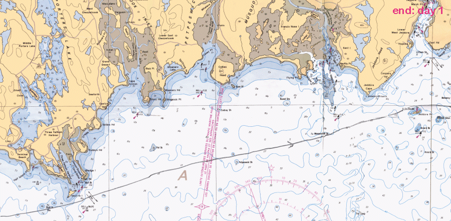 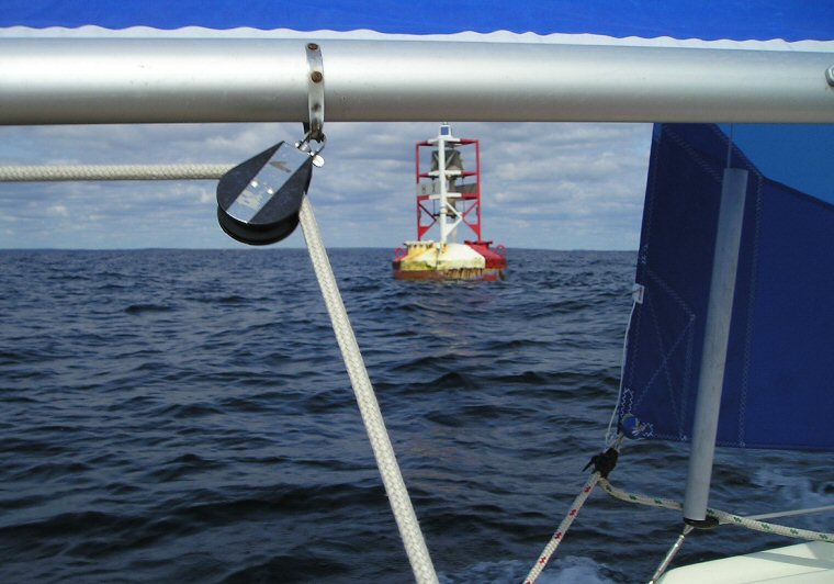 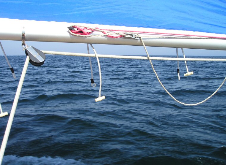 The bungee cord on the boom secures the sail every night. During the first day, I
find myself carefully
studying my chart, looking up frequently to pick out my landmarks and
taking my
fixes.
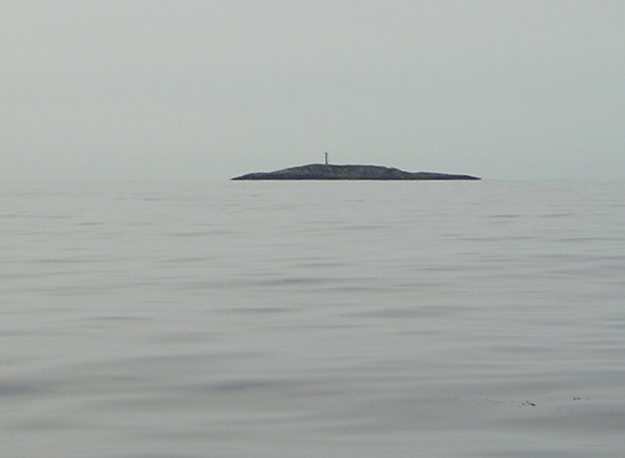 Jeddore Rock 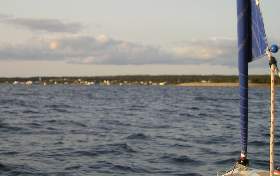 Approaching East Jeddore for the first night On approaching the dock at Baker's Point in ...
|
|
Day Two:
   Leaving The
next morning, I awaken at sunrise with great eagerness to get underway. My plan is to do a quick study of the charts,
listen for the weather and re-open my float plan. After
a quiet departure from Grandfather's
Gift, I take advantage of a following wind which
prompts me to fly the spinnaker. This glides me past my previous
night's unreached
destination of
It was during this leg of the trip that I encountered an interesting phenomenon. Even though the wind was light, the rocks near I am quite
pleased with my spinnaker handling skills. It took me quite awhile
during sea
trials to learn to do this by myself. The
forecast calls for increasing winds of 15-20 knots. I
don't want to
be overpowered, so my eyes regularly scan the sea for dark water
signifying
heavier air. At approximately 1000, the
forecast wind hits me like an invisible wall and I feel it prudent to
quickly
douse the chute and stow it back under the forepeak.
Soon the wind pipes up to 20+ knots, and I find Celtic Kiss surfing down waves at 6.5
knots under a full main and furled jib. As
the afternoon wears on, the wind increases even more,
prompting me to
reef the main while I continue on my course towards Pope's Head, which
I
estimate to be 2-3 miles away.
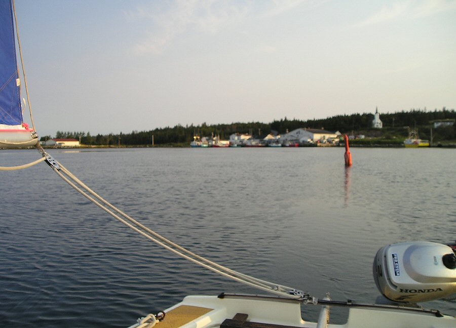
...All was going well until suddenly a gust hit me, and Celtic Kiss rounded up into the wind. I quickly recovered and hove to while I took a fix on the chart. I decided it would be wise to take refuge in the lee of the land. Somewhat disappointed that I would once again fail to make my intended landfall, I took solace in knowing that I was close to my intended destination, and was confident that I had made the correct decision to seek refuge. 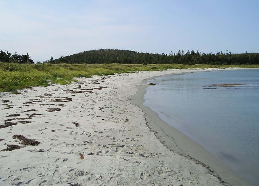 The sands of 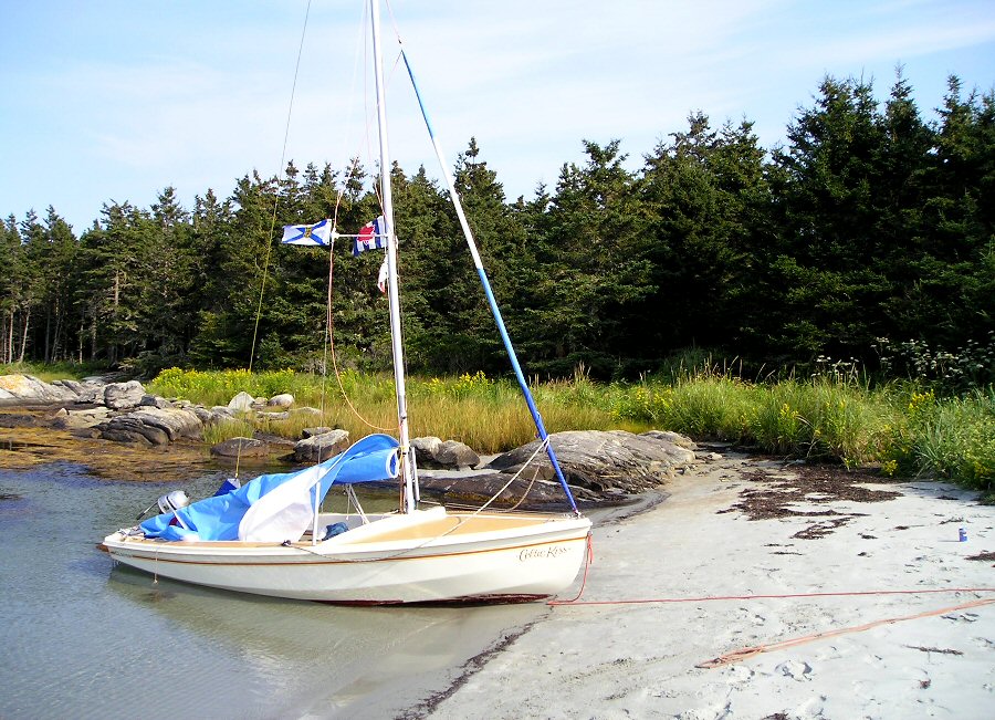 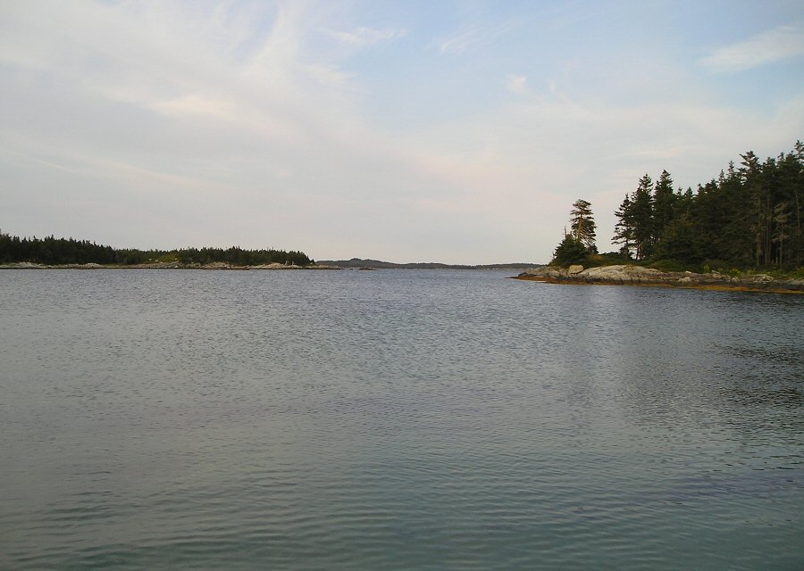 A great place to ride out a gale 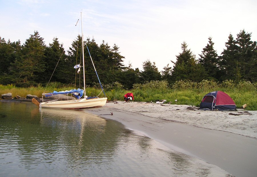 This is my idea of paradise (I’m using my grandfather’s grapnel as a kedge anchor.) 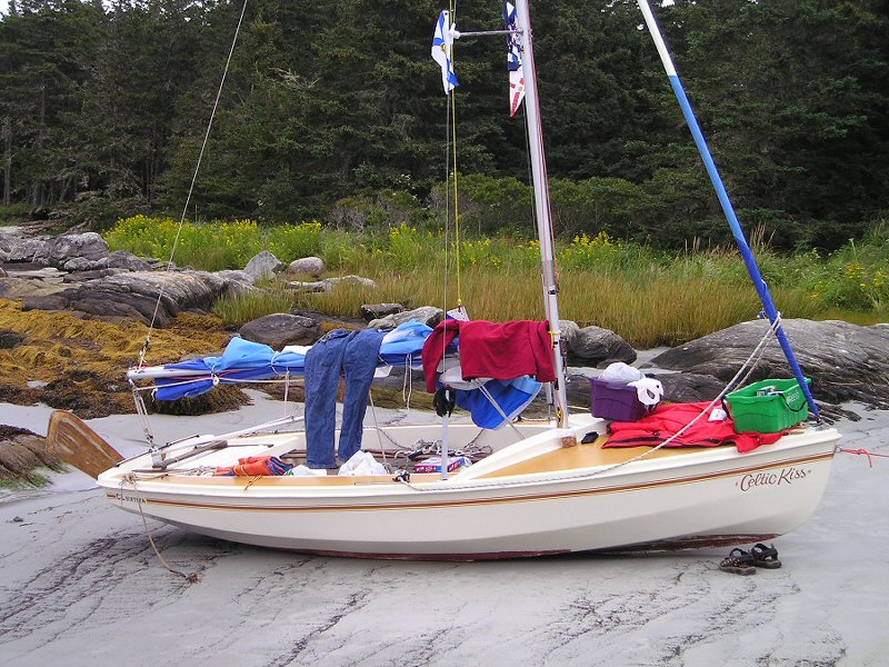 Drying out at low tide 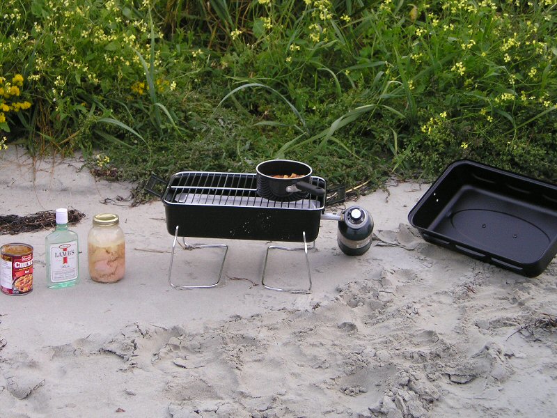 Celebratory meal of bottled chicken and rum 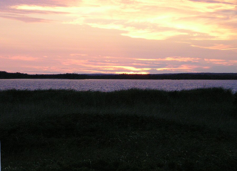 Terrific sunset after a terrific day |
|
Day Three:
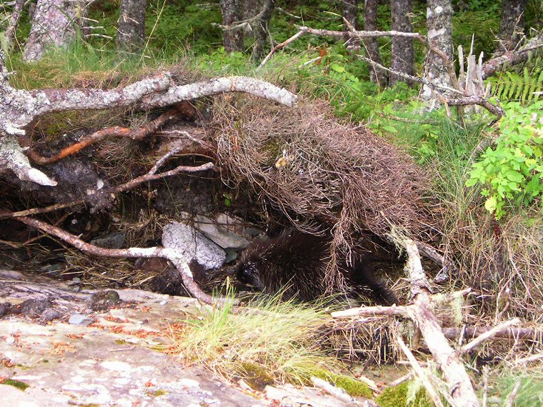 This porcupine was the only wildlife I saw on this island. 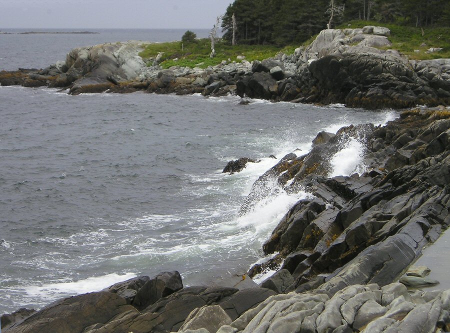 Crashing waves on  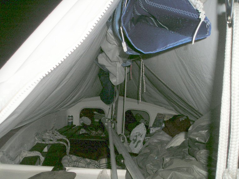 Cramped quarters but workable 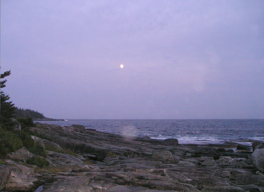 Full moon rising over The
... |
| index days 1-3 days 4-6 days 7-8 |