|
Dinghy
Cruising Along Nova Scotia's Eastern Shore
Rob
Dunbar sails Celtic Kiss (CL2120)
from Dartmouth past Canso
to Pirate Harbour on the Canso
Strait in September 2006
Days 4 to 6
...
|
|
DAY FOUR: Tuesday September 5,
2006
From
listening to the weather forecast the night before, I knew that the
gale had
passed. A small craft warning was however,
issued with maximum winds of 25 knots. Given
the confidence I had in the seaworthiness of Celtic Kiss,
I decided to head out. Anxious to get
going, I awoke shortly after daybreak and
had a quick
breakfast, which consisted of mixed fruit, granola bars and almonds. After re-opening my float plan and going
through
the lengthy process of tearing down my camp and restoring the boat, I
set off
for the most exhilarating sail of my life under reefed main alone.
The
gale had left behind very large offshore swells, which made for great
surfing. The combination of 25-knot winds
and 12-foot
waves had Celtic Kiss speeding down
the Eastern Shore in
excess of 9 knots for the entire day of sailing. My
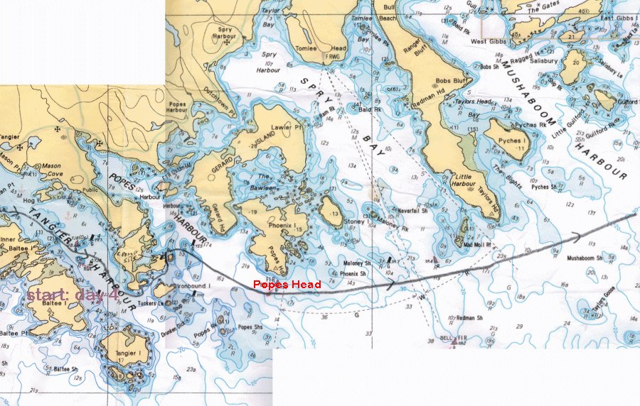
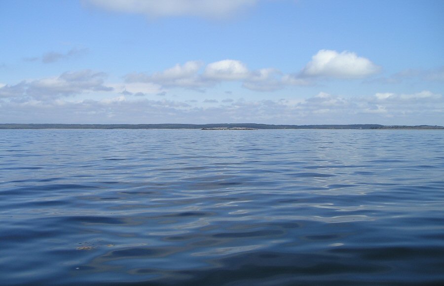
course took me across Pope's Harbour, Spry Bay and Mushaboom Harbour. It
was around here that I noticed many breakers offshore
as I was
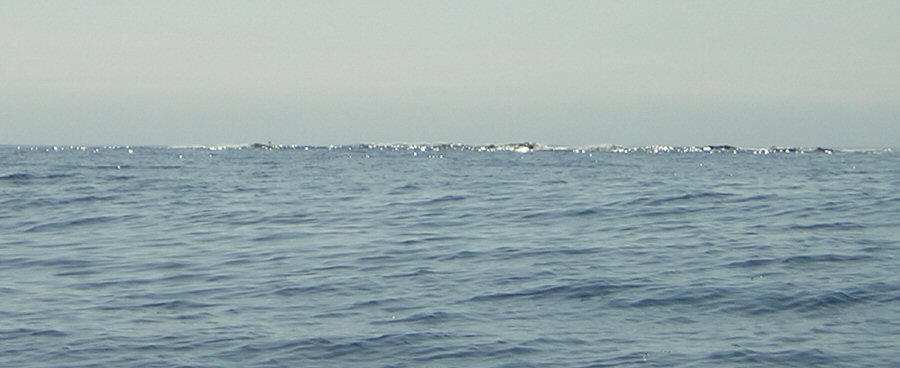
entering a very rocky area of the Eastern Shore. Common
sense dictates to stay away from the string of
breakers or face
the direst of consequences. Given the
large
number of breaking waves over any offshore rocks, it was easy to spot
them from
a great distance. I termed this
"breaker navigation" which required a particularly keen eye on the
breakers because Celtic Kiss and I
were, in a way, sailing blindly along this portion of the coast. I was never in any danger, but I would say
sailing blindly because I could not read my charts as they were
securely
tethered to the mast. Proper weight and
balance are integral factors in a sailing dinghy and given the wind
velocity
and sea state, it was imperative that I sit as far aft as possible so
as not to
bury the bow in the back of a wave. Hence my charts were out of reach.
Though
I was thoroughly enjoying my sail, and my confidence in the
seaworthiness of Celtic Kiss had grown exponentially,
safety is always first and foremost on my mind. In
my many years of dinghy sailing, I have learned that
the difference
between paradise and chaos can be a matter of only seconds. A broken split ring could cause certain rig
failure: a dismasting is bad at any time but in an angry sea it could
be a
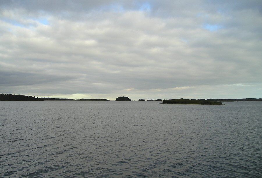
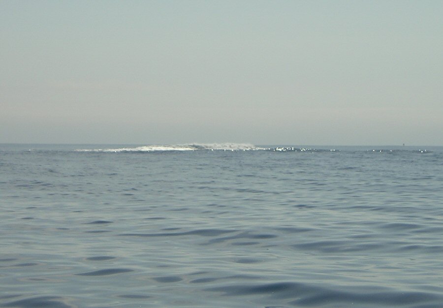
disastrous situation. Once I was clear of Beaver Island, I spotted a red spar
buoy, which
I knew from experience, marked a channel into safe haven: Quoddy Harbour. Though
I had told the coast guard I would go as far as
Tuffin Island (see second chart, Day 5), I had spotted
Quoddy on the mainland and now altered course to make a landfall there. But to get into the harbour, I had to pass
through a narrow passage between two islands with breakers all around
them. This required some precise
navigation and careful planning. I
couldn't fall too far off the breakers because I wouldn't make the
channel, but
on the other hand, I could not go too far upwind as I would be at a bad
angle
to the waves.
Eventually, I was able to
thread the needle between the Harbour Islands at the entrance to Quoddy Harbour. I
estimated 700 feet as the distance between the two
islands where
towering breakers marked the sides of the narrow channel with less
disturbed
water in the middle. To starboard of Celtic Kiss, white foam was within a boat
length, and to port I could stare into green water of breaking waves
that were
higher than the spreaders. Once I had
sailed
into the lee of the Harbour Islands, the swell
disappeared, but the
high wind was still evident even though the forecast had called for
diminishing
wind. Thus I tacked under reefed main
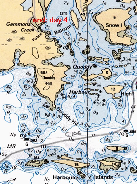
into Quoddy Harbour and admired the
beautiful
homes. One mansion in particular stood
out, and I noticed a person standing on the back deck watching my every
move as
I guided Celtic Kiss to the public
dock at Gammons Creek Harbour. (Al's
note: for marina pics and info, click here.) Upon
my discreet arrival into the
picturesque village, I immediately sought a bit of local knowledge and
soon
found myself walking up the driveway to the mansion I had been admiring
from
the water.
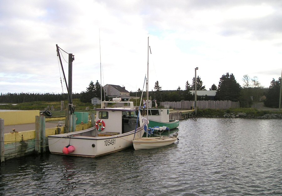
 Quoddy
Harbour
Quoddy
Harbour
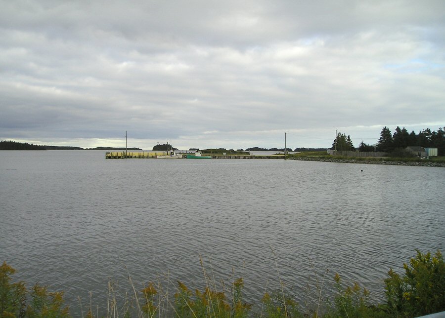
View of Gammons Creek Wharf
(West Quoddy)
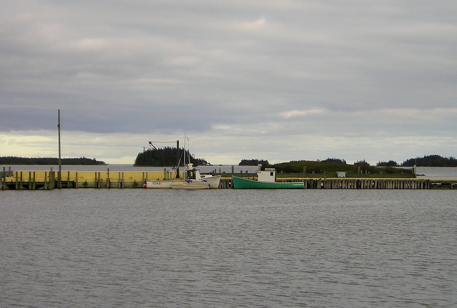
Celtic
Kiss looks so small.
 The
ladies in the house in back were most hospitable.
The
ladies in the house in back were most hospitable.
...
|
|
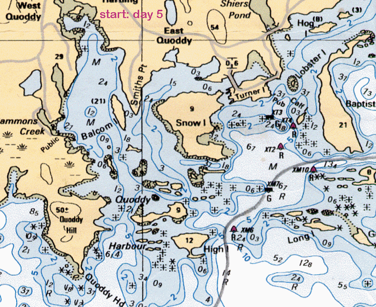
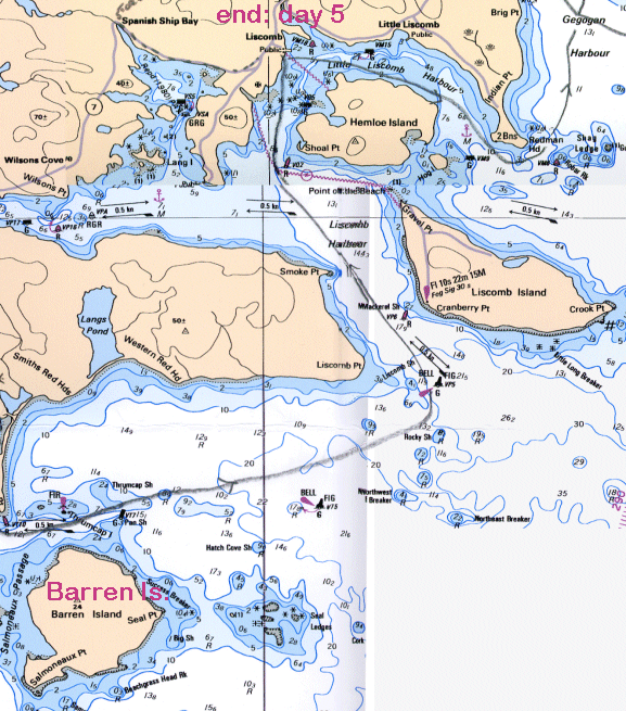
Day Five: Wednesday, September 6,
2006
Just
as the forecast had predicted, I woke to a dismal day of rain with a
threat of fog
patches developing late in the afternoon. It
would have been easy to roll over in bed and wait for
better weather,
but the wind speed and direction were in my favour, as was the tide.
Again, a
quick breakfast at daybreak, and Celtic
Kiss was once again prepared to go to sea. From a conversation I
had had
with the local wharf master the day before, I was assured that Liscomb
was
within striking distance. After a quick
call to the Coast Guard to re-open my float plan with Liscomb given as
my intended
destination, Celtic Kiss quietly
slipped from West Quoddy. Intense
chart study the previous night, along
with some local knowledge gained from my gracious hosts, allowed me to
guide Celtic Kiss safely back out into a
calmer Atlantic Ocean.
The plentiful shoal waters provided larger swells for an
early morning wake-me up. While I was passing the many rocks that were
waiting
to eat my fiberglass, I encountered the same whistling sound I had
heard at Egg Island. And
just like at Egg Island, not a sign of sea
life except
for some seaweed that gave a distinct odour of fish. After I had passed
the
shoal waters of Quoddy Harbour and entered the deeper
water of
the North Atlantic Ocean, the waves became much
more bearable and provided a comfortable broad
reach towards Liscomb Island. Today’s
visibility was rated as fair to poor in showers,
so my trusty
compass was closely monitored as I sailed towards my next waypoint of
Barren
Head.
Since
my departure from Halifax, I had mostly followed
a course
of 090 degrees and soaked in the scenery of the vast ocean expanse at
the
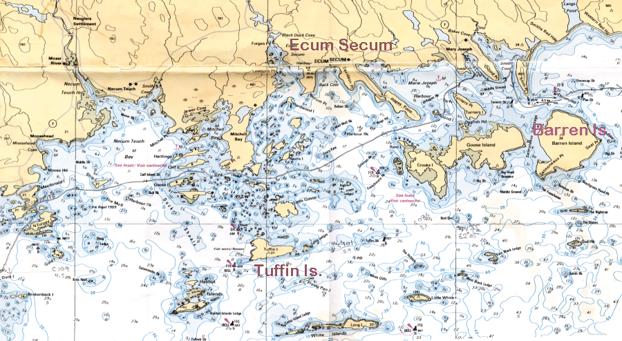
eastern edge of Canada’s mainland. While I gently sailed past Ecum Secum, and on
to Tuffin Island, I noted to myself
that I had
been much better off spending the night in West Quoddy rather than Tuffin Island. Though it would have
been nice for
once to close a float plan from the destination I had provided the
Coast Guard
with.
Barren
Head is getting larger on the bow and though it’s early in the day, I
need to
make some decisions as I can see the weather coming in from the sea.
Feeling
confident that I can make my destination of Liscombe Lodge, I also feel
confident that I can make it as far as Sherbrooke and spend a night with
some
relatives there. I know that I’ll get an excellent home cooked meal,
great
company and no doubt a few beverages. So,
as Barren Head falls astern of my little luxury yacht, I carefully
weigh out
my options while the weather closes in on me. I
know I definitely don’t want to be out here in fog.
My concern is not so much being hit by
another vessel as I’m sure there wouldn’t be another foolhardy soul out
here, but
I particularly don’t want to run afoul of a rock with my name on it. Though I hate to give up Sherbrooke, I navigate my way to
the
entrance of the Liscomb River with a plan to reach
the Liscombe
Lodge resort. I must be living a pretty
good life when one of Nova Scotia’s finest tourist
destinations
ranks second on my places-to-stay
list. But with Liscombe
Lodge, another challenge presents itself: It’s a seven-mile run up the
river in
steady rain and I’ve never sailed up Celtic
Kiss up a river before. But I’m up for the challenge.
While the rain intensifies, I am more than
ever convinced that I made the right choice in closing the float plan
at Liscombe
Lodge.
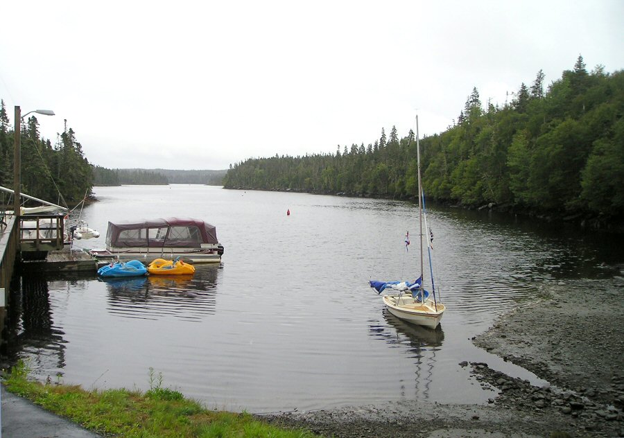
Beached and
then ...
... secured
at Liscombe Lodge
Resting
comfortably
Upon arrival at the little dock
of the resort, I find a little space to secure Celtic Kiss
for the night. (Al's
note: for marina pics and info, click here.) I then gather up my
duffel bag of
clothes and my charts before taking the short walk up to the main
office of the
Lodge. “Do you take vagrants?” I
jokingly ask the office staff.
The
friendly ladies behind the counter laughed at my remark and were
extremely
helpful in getting me settled into a luxurious room overlooking the Liscomb River. Having been informed
that I must
make dinner reservations for the dining room rather than just showing
up
looking for a meal, I made plans to dine at 2000. As
it was only 1530, I would have time to
check my messages on the internet, have a shower, shave, make a few
phone calls,
and either get a little sleep or watch a bit of television. When I
contacted
the coast guard, it was quite satisfying to report to them that after
four days
of sailing I had finally arrived at an intended destination. And of
course I
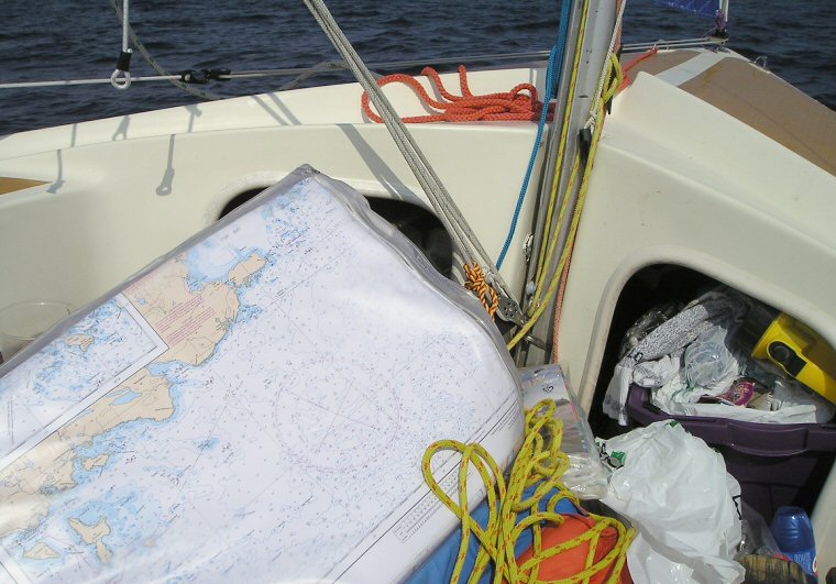
was able to study my charts and plan my next day’s sail in comfort.
This
section of the Eastern Shore is a bit intriguing to
me for I was now approaching an
area that my father and his two brothers once attempted in a 34’ Cape Island power boat when I was
only a
young boy of eight. Their Pirate Harbour to Halifax voyage did not meet
with much
success, as Trebor (Robert
spelled backwards) succumbed to engine failure in
dangerously close proximity to Nixon Mate Shoal and had to be towed by
a
rowboat to safety.
As my
Uncle John Dunbar wrote in his journal:
…
At 0530 hours a change in the
sound of the motor brought Charlie rushing into the cabin.
After a cursory inspection, it was discovered
that the transmission had become overheated and seized, although there
was no
evidence of any transmission fluid in the bilge. Upon further
investigation,
Charlie announced that we could proceed no further. A fix was obtained
on the
chart which indicated that we were just east of Indian Harbour and
about six miles
off the coast and two miles southwest of Nixon Mate Shoal.
This
was most disappointing. Here
we were, with no radio and adrift six miles off the coast on a Sunday
morning,
when no fishermen would be putting out to sea. How thankful we were
that my father (author’s
grandfather) had insisted we take his rowboat along as
a tender; it immediately became obvious that it would be put to good
use.
As
daylight approached the wind
began to increase in velocity from the southwest, which would
eventually blow
us onto the reef unless we took evasive action. While Charlie and Bob (author’s father) were checking over the motor, I got into
the rowboat, attached a line to Trebor’s bow and commenced to row,
saving gas
for an emergency, as we were not at this time in any immediate danger.
Slowly
but steadily she moved forward. At 0845, three hours after I had
commenced
rowing, we were well past the reef with several miles of good water
between us
and the lee shore. With the increasing wind, the waves had now risen to
a
height of seven or eight feet, while the sky became overcast.
Sadly,
that was the last voyage for Trebor because,
after being towed to Halifax, she was put on the
hard and
repairs were interrupted by a move to Calgary. Thirty-one
years later I now had an opportunity to visit
the area where
this infamous sea saga took place and would get a better appreciation
of what
my father and two uncles endured.
My dining
reservations were soon approaching, so
I did my best to find a dry set of clothes and shoes to wear to the
classy
dining room. I didn’t want to look like an unkempt hippie though I had
earlier
declared myself as a vagrant. But considering my circumstances, I think
I could
have been excused because I was in the middle of a somewhat daring
adventure. After enjoying a fine meal, I
ordered one of my favourite drinks to celebrate the midway point of my
dream: The Long Island iced tea was sipped
with much
satisfaction. It was at this point that a couple stopping here in their
Nonsuch
30 Feline Fine spotted me. They
were retired and sailing from their home
in Quebec City to
the Bahamas. I was invited aboard
for a nightcap.
...
|
|
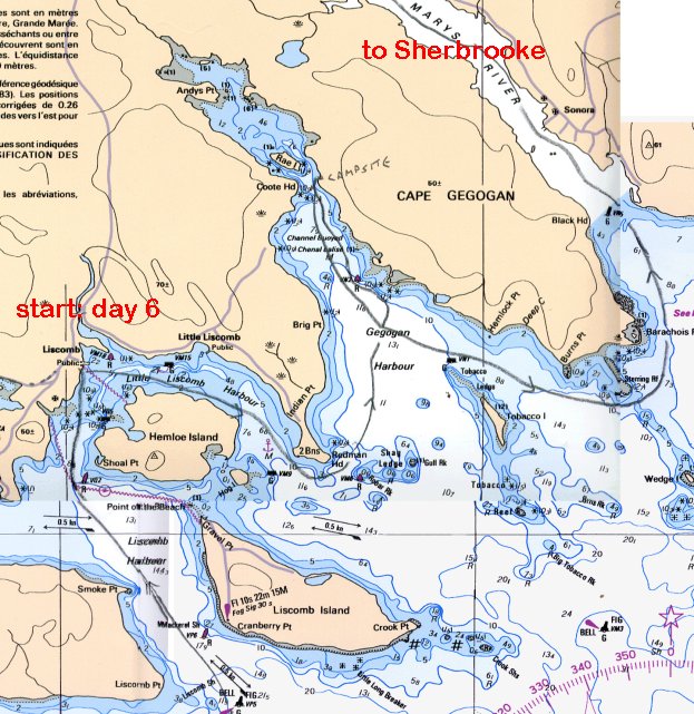
Day Six: Thursday, September 7,
2006
Having
enjoyed a comfortable night’s sleep in my Queen Size bed, I gathered my
belongings, secured them aboard Celtic
Kiss, and once again found myself in the dining room feasting on an
all-you-can-eat
buffet. Though this was a great treat, I didn’t want to savour it too
long, as
I didn’t want to lose a good tide to take me down river and out to sea. My friends on Feline Fine had
already slipped their lines. After quickly
consuming breakfast, I
continued with my morning ritual of calling the coast guard and told
them of my
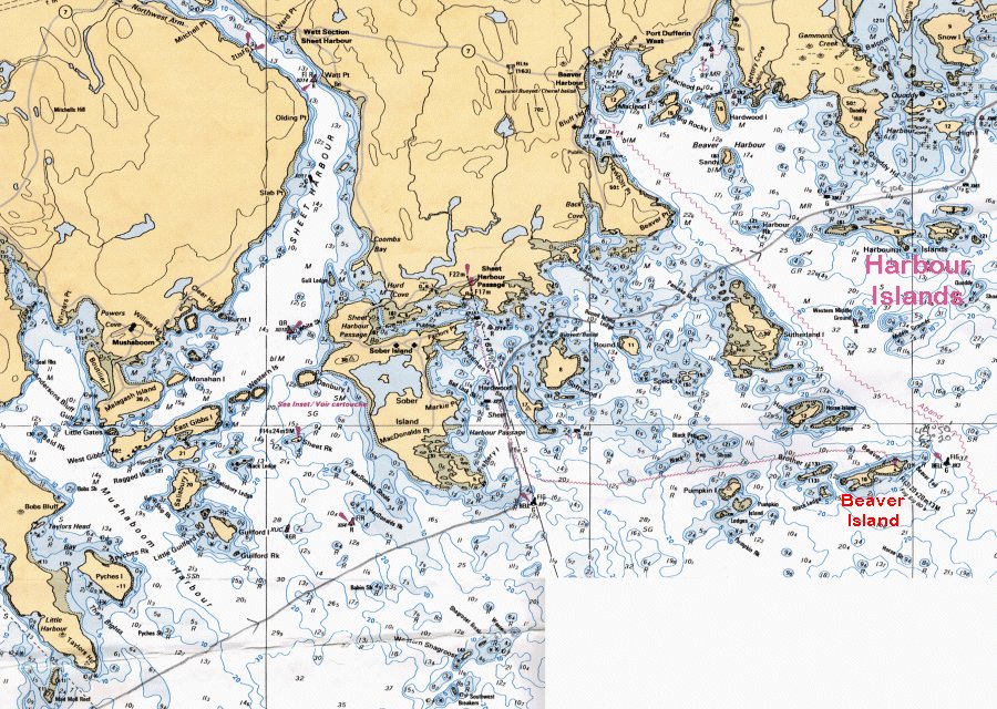
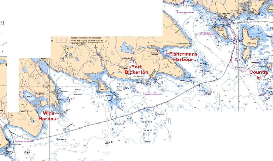
plans to go as far as Fisherman’s Harbour.
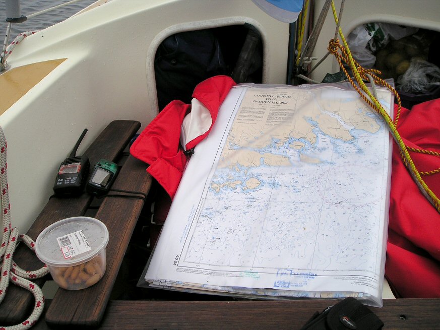
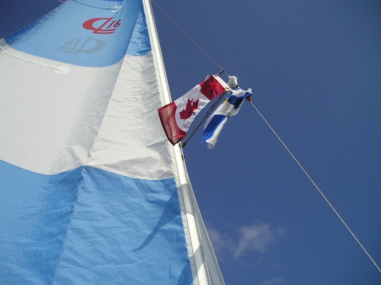
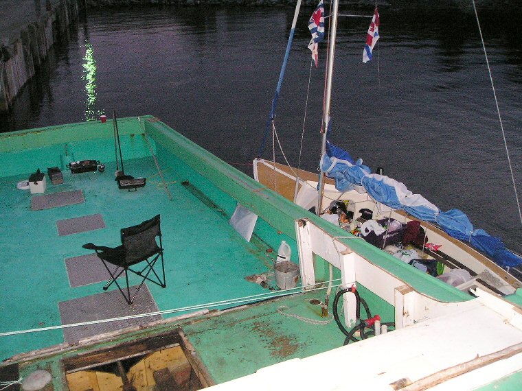
Charts
in a bag, tied to mast next to GPS and VHF
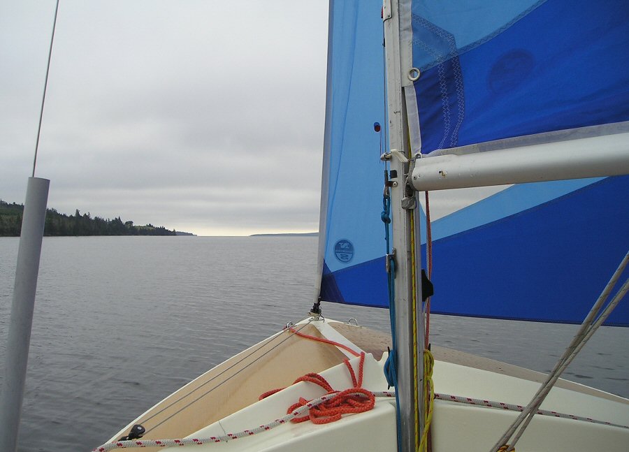 Leaving
Liscomb River
Leaving
Liscomb River
Blue
skies welcome me back to the North
Atlantic.
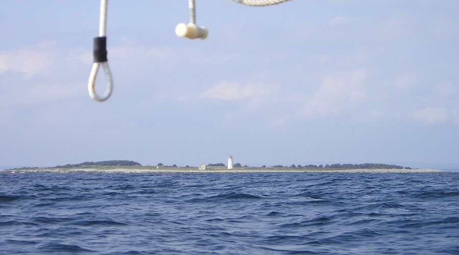
Breaker
Navigation makes it easy.
Hungry
rocks waiting for a victim
Liberty
Ship Fury wasn’t ...
... so lucky.
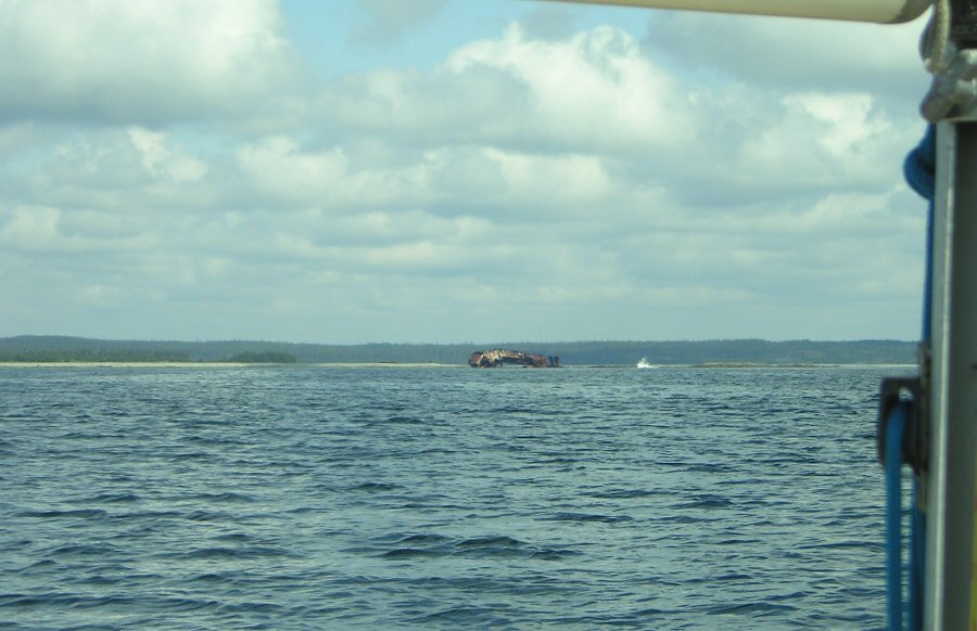
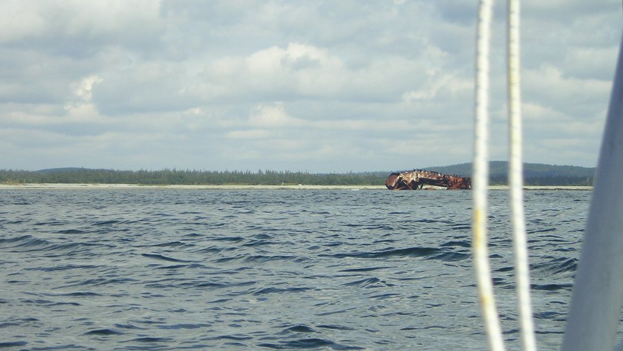
As I reached the mouth of the Liscomb River, I sailed a course
that took me
in close proximity to an old Liberty Ship (photos above) that had run afoul
of the many rocks
that litter the coastline. Seeing this
hulking derelict, one can only imagine the feeling of terror the crew
members
felt on that fateful night so long ago. And judging by the gentle
breakers
giving away the position of the same rocks that took the life of the
ship, I
know that I must be careful of my own navigation.
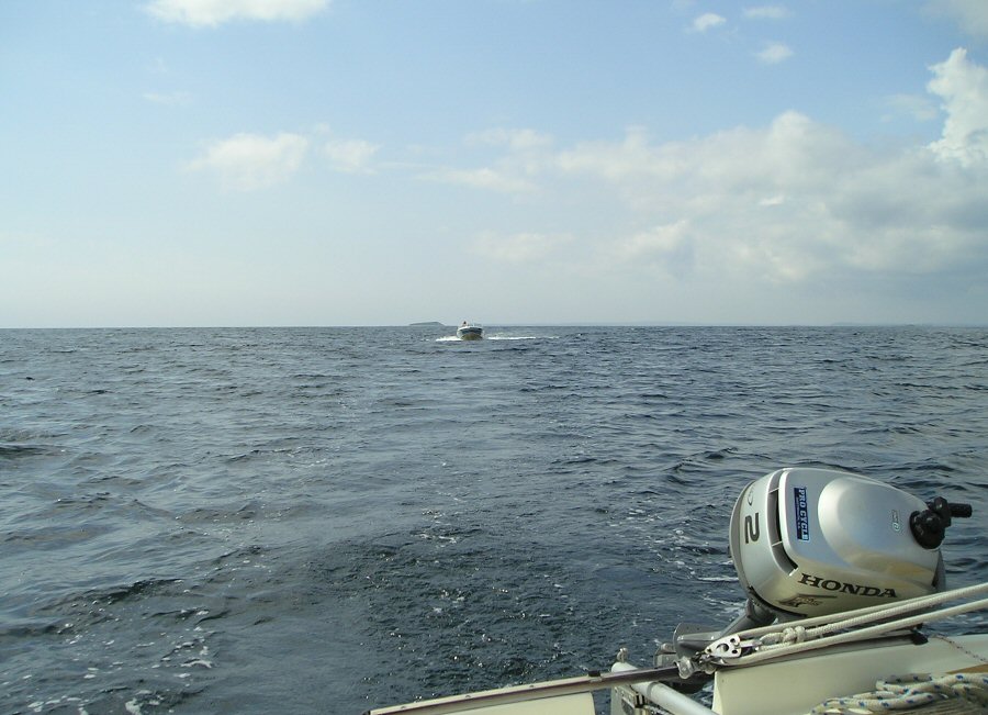
A
visit from cousin Don
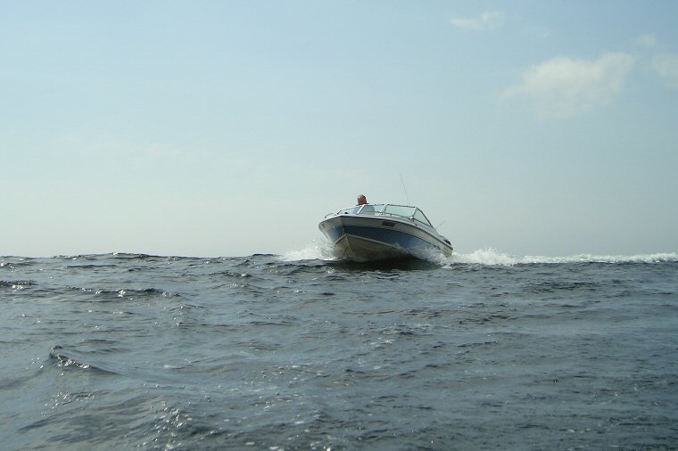
Don’s
on a crest, I’m in a trough.
Halifax is far
beyond the horizon now.
My
new crisp sails are getting broken in.
After the exchange of pleasantries,
Don sped off to Sherbrooke, and I continued on my
course to Country Island where I would alter
course into
Fisherman’s Harbour. Immediately I opened up the bag of goodies to find
some
apples, oranges, a bag of chips, chocolate bars, a few cans of pop, and
a few
cans of beer. Given my lack of
refrigeration
facilities, I deemed it necessary to find a new home for the beer
before the
sun got to it. Thus I raised a can of
Alexander Keith’s and toasted my father and his two brothers, Charlie
and my
late Uncle John. Ironically, the last time I ever saw my Uncle John was
at
Liscombe Lodge.
 This
chart has me approaching Tor Bay
- note
how I opted to stay offshore.
This
chart has me approaching Tor Bay
- note
how I opted to stay offshore.
After
having my moments of nostalgia, I soon get the spinnaker up, which
helps me get
closer to Country Island faster for a short
time before
whitecaps appeared when I am abeam of Wine Harbour. Down
comes the spinnaker, and soon the lighthouse of Country Island makes its appearance.
A steady SW
wind takes me ever closer to my destination and according to the GPS my
ETA for Country Island is 1430 and since
Fisherman’s
Harbour is west of Country Island, my ETA for
Fisherman’s Harbour should
be around 1330. That’s simply too early
to call it a day, so I carefully study the chart and try to locate a
destination further ahead.
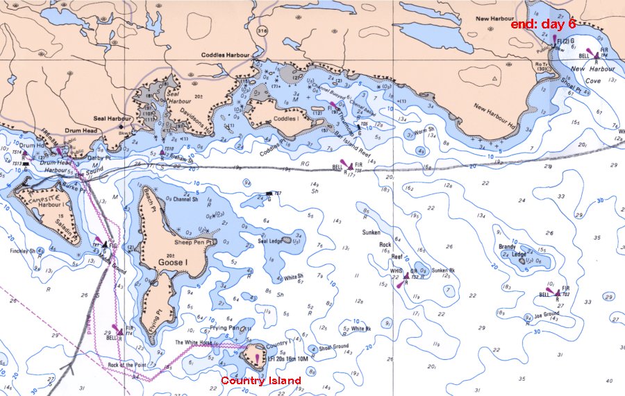
Country Island Lighthouse
If the wind stays steady, New Harbour is within reach. As Celtic Kiss glides past the twin lighthouses
of Port Bickerton, New Harbour is becoming more of a
real
possibility. Soon I am abeam of
Fisherman’s Harbour, and the lighthouse of Country Island is taking a definite
shape. I
have always been fascinated with lighthouses, so I opt to sail outside
of the
island to get a better view, since judging by the chart I’d be running
into
shoal water again if I stayed inside Country Island. For the first time in
my voyage
I am surpassing a destination provided in my daily float plan. Considering my previous failed attempts, this
is cause for celebration. Hence I plan to have another gourmet meal
done on the
barbecue similar to the one I had on Baltee Island.
Having
successfully navigated past Country Island, I set course for the
buoys that
would guide me into New Harbour. The increasing swells
let the
buoys voice their location to me while warning me of submerged rocks
and
ledges. Each buoy was carefully studied on the chart, as I wanted to
make sure
I knew what each buoy was marking - it’s not always as simple as
“Red-Right-Return” when approaching a foreign port.
To
complicate things a bit, the wind was rising more than I had expected
and I soon
found myself reefing the main for the final approach into New Harbour. I could also tell
that I was
being watched from ashore and didn’t want to make a foolhardy approach
in front
of an audience. (Al's
note: for marina pics and info, click here.) Upon
reaching the public
wharf at New Harbour and securing my lines,
I
immediately tried to call the coast guard and let them know my
whereabouts. To
my chagrin, cell phone service is non-existent in New Harbour so I relied on the
kindness of
the wharfmaster, Trenton, and his wife,
Charlene, for the
use of their telephone. Again in true Nova Scotia form, Trenton and Charlene offered
to assist me
with any of my needs. The only question Trent asked me was if I had
seen any
tuna, as the season was opening in just a few days. The answer was
unfortunately “No”.
 Fine
dining aboard a fishing boat in New Harbour
Fine
dining aboard a fishing boat in New Harbour
...
|
index
days 1-3
days 4-6
days 7-8
|